Sainte-Félicie
Sainte-Félicie is a shelter in Pierrevert, Arrondissement of Forcalquier, Provence-Alpes-Côte d’Azur. Sainte-Félicie is situated nearby to Place Sainte-Madeleine, as well as near Place Saint-Louis.| Tap on a place to explore it |
Places of Interest Nearby
Highlights include Porte Saint-Joseph (Pierrevert) and Chapelle Saint-Pancrace.
Porte Saint-Joseph (Pierrevert)
City gate

Photo: Rainbow0413, CC BY-SA 3.0.
Porte Saint-Joseph (Pierrevert) is a city gate, which is situated 2½ km south of Sainte-Félicie.
Chapelle Saint-Pancrace
Church

Photo: Wikimedia, CC BY-SA 3.0.
Chapelle Saint-Pancrace is a church, which is situated 2½ km southeast of Sainte-Félicie.
Hôtel de Ville
Town hall
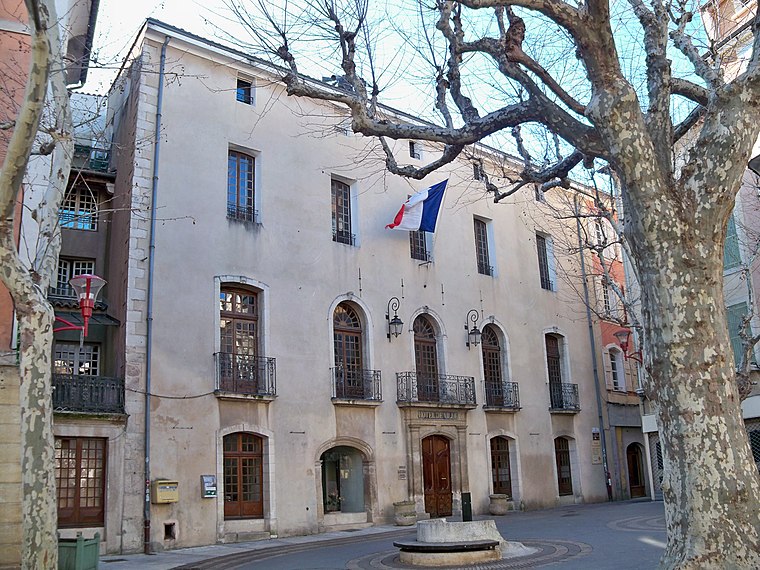
Photo: Véronique PAGNIER, CC BY-SA 3.0.
Hôtel de Ville is a town hall, which is situated 3 km east of Sainte-Félicie.
Places in the Area
Nearby places include Manosque and Sainte-Tulle.
Manosque

Photo: Chabe01, CC BY-SA 4.0.
Manosque is the largest town and commune in the Alpes-de-Haute-Provence department in southeastern France. However, it is not the préfecture of the department, which is the smaller town of Digne-les-Bains.
Sainte-Tulle
Village

Photo: Wikimedia, CC BY-SA 3.0.
Sainte-Tulle is a commune in the Alpes-de-Haute-Provence department in southeastern France. Sainte-Tulle is situated 6 km south of Sainte-Félicie.
Lincel
Hamlet

Photo: Lubman04, CC BY-SA 3.0.
Lincel is a hamlet, which is situated 7 km northwest of Sainte-Félicie.
Sainte-Félicie
Latitude
43.8332° or 43° 49′ 60″ northLongitude
5.74203° or 5° 44′ 31″ eastOpen location code
8FM7RPMR+7ROpenStreetMap ID
node 4541528025OpenStreetMap feature
amenity=shelterOpenStreetMap feature
public_transport=pole
This page is based on OpenStreetMap, Wikidata, and Wikimedia Commons.
We’d love your help improving our open data sources. Thank you for contributing.
Satellite Map
Discover Sainte-Félicie from above in high-definition satellite imagery.
Notable Places Nearby
Highlights include Place Sainte-Madeleine and Place Saint-Louis.
Nearby Places
Explore places such as Sainte-Félicie and Château d’Eau.
Alpes-de-Haute-Provence: Must-Visit Destinations
Delve into Manosque, Sisteron, Moustiers Sainte Marie, and Annot.
Curious Shelters to Discover
Uncover intriguing shelters from every corner of the globe.
About Mapcarta. Data © OpenStreetMap contributors and available under the Open Database License". Text is available under the CC BY-SA 4.0 license, except for photos, directions, and the map. Photo: Twice25, CC BY 2.5.