Uru Lamp
Uru Lamp is a shop in Municipio Ch, Montevideo Department which is located on Juan Benito Blanco. Uru Lamp is situated nearby to the recreation area Plazuela Doctor José Pedro Massera, as well as near Vintage.| Tap on a place to explore it |
Places of Interest Nearby
Highlights include Estadio Pocitos and San Juan Bautista, Montevideo.
Estadio Pocitos

Photo: Wikimedia, CC BY-SA 3.0.
Estadio Pocitos was a multi-use stadium located in the Pocitos district of Montevideo, Uruguay. The stadium, owned by C.A. Peñarol, was mainly used for football matches from 1921 to 1933. Estadio Pocitos is situated 1¼ km northwest of Uru Lamp.
San Juan Bautista, Montevideo
Church

Photo: Fadesga, CC BY-SA 3.0.
The Church of Saint John the Baptist, popularly known also as Iglesia de Pocitos is a Roman Catholic parish church in Montevideo, Uruguay. San Juan Bautista, Montevideo is situated 430 metres northwest of Uru Lamp.
Embassy of Spain
Government office

Photo: Andrés Franchi Ugart…, CC BY-SA 3.0.
Embassy of Spain is a government office, which is situated 800 metres west of Uru Lamp.
Places in the Area
Nearby places include Pocitos and Villa Dolores.
Pocitos
Suburb

Photo: Shant, CC BY-SA 2.5.
Pocitos is an upscale seaside barrio of Montevideo, Uruguay. It borders Buceo to the east, Parque Batlle to the north, Tres Cruces, Cordón and Parque Rodó to the west and Punta Carretas to the south.
Villa Dolores
Neighborhood

Photo: Andrés Franchi Ugart…, CC BY-SA 3.0.
Villa Dolores is a neighborhood.
Punta Carretas
Suburb
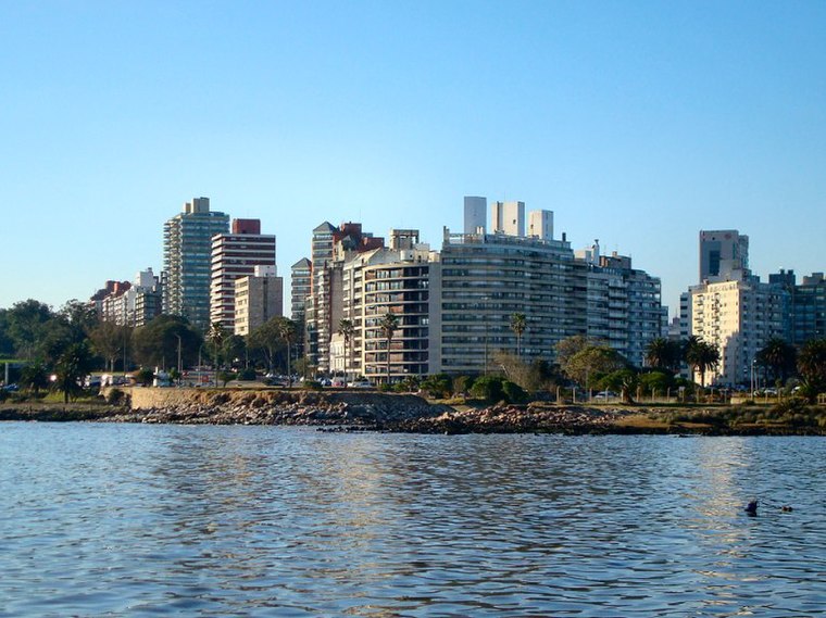
Photo: Hoverfish, CC BY-SA 3.0.
Punta Carretas is a barrio of Montevideo, Uruguay. Politically located in the Municipality CH, it is an affluent neighborhood, with a high population density and a large number of high-rise apartment buildings.
Uru Lamp
- Type: Shop
- Address: Juan Benito Blanco
- Location: Municipio Ch, Montevideo Department, Uruguay, South America
- View on OpenStreetMap
Latitude
-34.91126° or 34° 54′ 41″ southLongitude
-56.14585° or 56° 8′ 45″ westOpen location code
48Q53VQ3+FMOpenStreetMap ID
node 4543843500OpenStreetMap feature
shop=lighting
This page is based on OpenStreetMap, Wikidata, and Wikimedia Commons.
We’d love your help improving our open data sources. Thank you for contributing.
Satellite Map
Discover Uru Lamp from above in high-definition satellite imagery.
Notable Places Nearby
Highlights include Plazuela Doctor José Pedro Massera and Vintage.
Nearby Places
Explore places such as Chérie and Recicla Secondhand - Pocitos.
Uruguay: Must-Visit Destinations
Delve into Montevideo, Salto, Colonia, and Punta del Este.
Curious Shops to Discover
Uncover intriguing shops from every corner of the globe.
About Mapcarta. Data © OpenStreetMap contributors and available under the Open Database License". Text is available under the CC BY-SA 4.0 license, except for photos, directions, and the map. Photo: Elemaki, CC BY 3.0.