Mine Témoin
Mine Témoin is in Alès, Gard, Occitanie. Mine Témoin is situated nearby to the museum Musée bibliothèque Pierre-André-Benoit, as well as near Pôle Culturel et Scientifique de Rochebelle.| Tap on a place to explore it |
Places of Interest Nearby
Highlights include Mine témoin d’Alès and Fort Vauban.


Alès Cathedral
Church

Photo: Vpe, Public domain.
Alès Cathedral is a Roman Catholic church dedicated to Saint John the Baptist and located in the town of Alès in the department of Gard, France. It has been a monument historique since 9 May 1914. Alès Cathedral is situated 1¼ km southeast of Mine Témoin.
Places in the Area
Nearby places include Saint-Jean-du-Pin and Cendras.
Saint-Jean-du-Pin
Village

Photo: JBouchez, CC BY-SA 3.0.
Saint-Jean-du-Pin is a commune in the Gard department in southern France.
Cendras
Village

Photo: Havang(nl), CC0.
Cendras is a commune in the Gard department in southern France. Cendras is situated 3 km north of Mine Témoin.
Saint-Martin-de-Valgalgues
Village
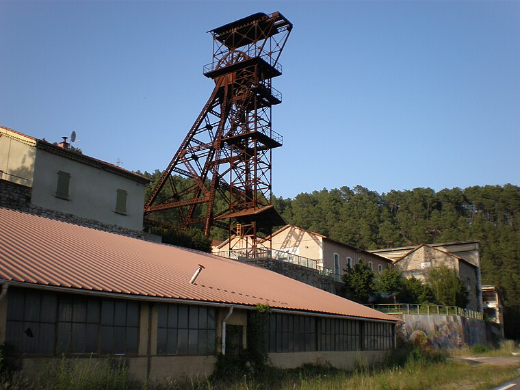
Photo: Vpe, Public domain.
Saint-Martin-de-Valgalgues is a commune in the Gard department in southern France. Saint-Martin-de-Valgalgues is situated 3½ km north of Mine Témoin.
Mine Témoin
- Type: Sign
- Categories: information and tourism
- Location: Alès, Arrondissement of Alès, Gard, Occitanie, France, Europe
- View on OpenStreetMap
Latitude
44.13241° or 44° 7′ 57″ northLongitude
4.06712° or 4° 4′ 2″ eastElevation
178 metres (584 feet)Open location code
8FP643J8+XROpenStreetMap ID
node 4560414640OpenStreetMap feature
tourism=information
This page is based on OpenStreetMap, Wikidata, and Wikimedia Commons.
We’d love your help improving our open data sources. Thank you for contributing.
Satellite Map
Discover Mine Témoin from above in high-definition satellite imagery.
Notable Places Nearby
Highlights include Musée bibliothèque Pierre-André-Benoit and Pôle Culturel et Scientifique de Rochebelle.
Nearby Places
Explore places such as Cité Sainte-Marie and Érables.
Gard: Must-Visit Destinations
Delve into Nîmes, Aigues-Mortes, and Remoulins.
Curious Places to Discover
Uncover intriguing places from every corner of the globe.
About Mapcarta. Data © OpenStreetMap contributors and available under the Open Database License". Text is available under the CC BY-SA 4.0 license, except for photos, directions, and the map. Photo: Inkey, CC BY 2.5.