Pont Meyrieux
Pont Meyrieux is an electrical substation in Saint-Gervais-les-Bains, Arrondissement of Bonneville, Auvergne-Rhône-Alpes. Pont Meyrieux is situated nearby to the pitch Le Fayet - Initiation, as well as near Le Fayet - Grande Falaise.| Tap on a place to explore it |
Places of Interest Nearby
Highlights include Saint-Gervais-les-Bains–Le Fayet station and Inclined elevator of Saint-Gervais-les-Bains.
Saint-Gervais-les-Bains–Le Fayet station
Railway station

Photo: Floflo, CC BY-SA 3.0.
Saint-Gervais-les-Bains–Le Fayet station is a railway station serving the town Saint-Gervais-les-Bains, Haute-Savoie department, southeastern France. It is the southeastern terminus of the standard gauge La Roche-sur-Foron–Saint-Gervais-les-Bains-Le Fayet… Saint-Gervais-les-Bains–Le Fayet station is situated 1 km northwest of Pont Meyrieux.
Inclined elevator of Saint-Gervais-les-Bains
Railway station

Photo: Siren-Com, CC BY-SA 4.0.
Inclined elevator of Saint-Gervais-les-Bains is a railway station, which is situated 640 metres southwest of Pont Meyrieux.
Temple de la Vignette
Church

Photo: MB-one, CC BY-SA 4.0.
Temple de la Vignette is a church, which is situated 790 metres south of Pont Meyrieux.
Places in the Area
Nearby places include Passy and Le Bettex (Saint-Gervais-les-Bains).
Passy
Town
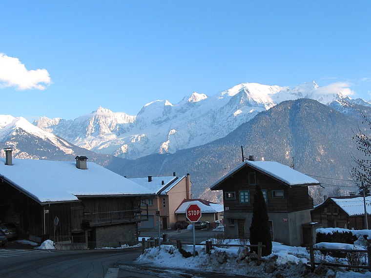
Photo: Jean-Pol GRANDMONT, CC BY 3.0.
Passy is a commune in the Haute-Savoie department in the Auvergne-Rhône-Alpes region in south-eastern France. It is part of the urban area of Sallanches. Passy is situated 3 km northwest of Pont Meyrieux.
Le Bettex (Saint-Gervais-les-Bains)
Locality
 Le Bettex (Saint-Gervais-les-Bains) is a locality, which is situated 4 km southwest of Pont Meyrieux.
Le Champel
Hamlet

Photo: Nicolas Vigier, CC BY 2.0.
Le Champel is a hamlet, which is situated 5 km south of Pont Meyrieux.
Pont Meyrieux
- Type: Electrical substation
- Category: industry
- Location: Saint-Gervais-les-Bains, Arrondissement of Bonneville, Haute-Savoie, Auvergne-Rhône-Alpes, France, Europe
- View on OpenStreetMap
Latitude
45.90238° or 45° 54′ 9″ northLongitude
6.71329° or 6° 42′ 48″ eastOperator
EnedisOpen location code
8FQ8WP27+X8OpenStreetMap ID
node 4572131037OpenStreetMap feature
man_made=street_cabinet
This page is based on OpenStreetMap, Wikidata, and Wikimedia Commons.
We’d love your help improving our open data sources. Thank you for contributing.
Satellite Map
Discover Pont Meyrieux from above in high-definition satellite imagery.
Notable Places Nearby
Highlights include Le Fayet - Initiation and Le Fayet - Grande Falaise.
Nearby Places
Explore places such as Le Four and Pont du Gibloux.
Haute-Savoie: Must-Visit Destinations
Delve into Chamonix, Annecy, Annemasse, and Evian.
Curious Electrical Substations to Discover
Uncover intriguing electrical substations from every corner of the globe.
About Mapcarta. Data © OpenStreetMap contributors and available under the Open Database License". Text is available under the CC BY-SA 4.0 license, except for photos, directions, and the map. Photo: Jacek79, CC BY-SA 4.0.