Kariguini Primary School., Kenya
Kariguini Primary School., Kenya is a school in Nyeri County, Kenya.| Tap on a place to explore it |
Places in the Area
Nearby places include Othaya and Nyeri.
Othaya
Village
Othaya is a Kenyan town about 120 kilometres north of Nairobi, the capital. It had a population of 21,427, of which 4,108 are core urban; the majority of the residents are of the Kikuyu tribe. Othaya is situated 7 km south of Kariguini Primary School., Kenya.
Nyeri
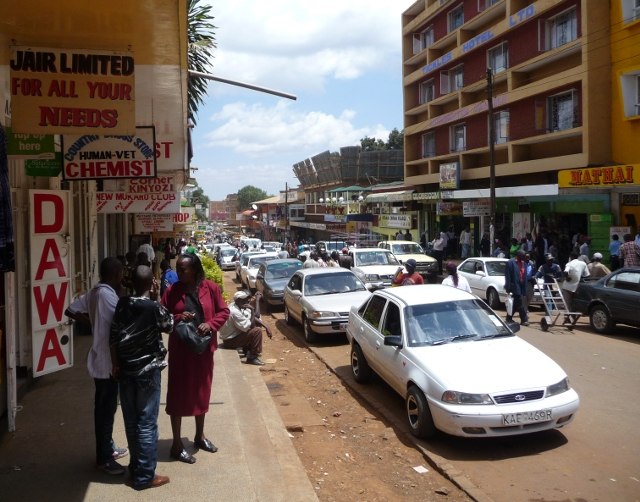
Photo: Rotsee2, CC BY-SA 3.0.
Nyeri is a town situated in the Central Highlands of Kenya. It is the county headquarters of Nyeri County and was the central administrative headquarters of the country's former Central Province.
Kariguini Primary School., Kenya
- Type: School
- Category: education
- Location: Nyeri County, Kenya, East Africa, Africa
- View on OpenStreetMap
Latitude
-0.48556° or 0° 29′ 8″ southLongitude
36.95614° or 36° 57′ 22″ eastOpen location code
6GFRGX74+QFOpenStreetMap ID
node 4578382639OpenStreetMap feature
amenity=school
This page is based on OpenStreetMap, Wikidata, and Wikimedia Commons.
We’d love your help improving our open data sources. Thank you for contributing.
Satellite Map
Discover Kariguini Primary School., Kenya from above in high-definition satellite imagery.
Notable Places Nearby
Highlights include Professor Wangari Memorial Garden and Our Lady Of Farmers Wamagana Catholic Parish.
Nearby Places
Explore places such as Kihora Primary School and Gachatha Coffee Factory.
Kenya: Must-Visit Destinations
Delve into Nairobi, Mombasa, Mount Kenya, and Lake Turkana.
Curious Places to Discover
Uncover intriguing places from every corner of the globe.
About Mapcarta. Data © OpenStreetMap contributors and available under the Open Database License". Text is available under the CC BY-SA 4.0 license, except for photos, directions, and the map. Photo: Wikimedia, CC0.