Comunidad Aborigen Ita Poty
Comunidad Aborigen Ita Poty is a hamlet in Departamento de Libertador General San Martín, Misiones and has about 64 residents. Comunidad Aborigen Ita Poty is situated nearby to the hamlet Comunidad Aborigen Takuapi, as well as near Comunidad Aborigen Tupã Mba´e.| Tap on a place to explore it |
Places in the Area
Nearby places include Ruiz de Montoya and Capioví.
Ruiz de Montoya
Village
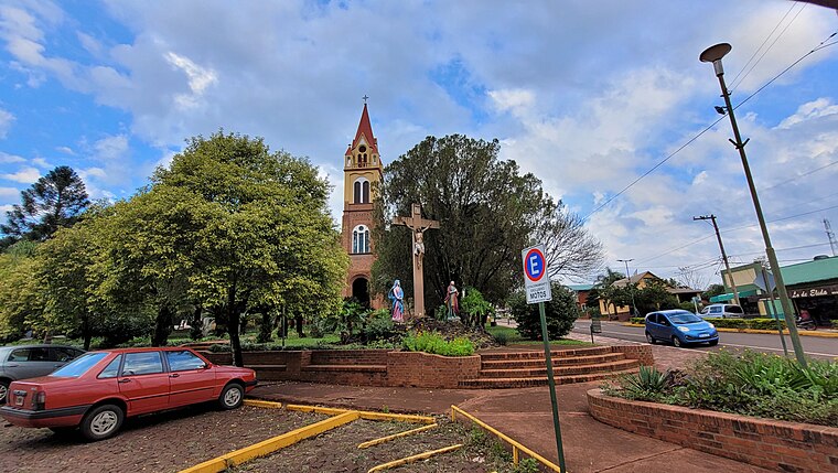
 Ruiz de Montoya is a village and municipality in Misiones Province in north-eastern Argentina. The municipality contains part of the Valle del Arroyo Cuña-Pirú Reserve, created in 2000. Ruiz de Montoya is situated 4½ km northeast of Comunidad Aborigen Ita Poty.
Capioví
Village
 Capioví is a village and municipality in Misiones Province in north-eastern Argentina. Land was first acquired in the area by the Carlos Culmey Company, in 1919, and the following year, Enrique Graef and his family became the future town's first settlers. Capioví is situated 9 km north of Comunidad Aborigen Ita Poty.
Puerto Leoni
Village
 Puerto Leoni is a village and municipality in Misiones Province in north-eastern Argentina. Puerto Leoni is situated 9 km west of Comunidad Aborigen Ita Poty.
Comunidad Aborigen Ita Poty
- Type: Hamlet with 64 residents
- Category: locality
- Location: Departamento de Libertador General San Martín, Misiones, Mesopotamia, Argentina, South America
- View on OpenStreetMap
Latitude
-27.0066° or 27° 0′ 24″ southLongitude
-55.0729° or 55° 4′ 23″ westPopulation
64Open location code
5846XWVG+9ROpenStreetMap ID
node 4588172584OpenStreetMap feature
place=hamlet
This page is based on OpenStreetMap, Wikidata, and Wikimedia Commons.
We’d love your help improving our open data sources. Thank you for contributing.
Satellite Map
Discover Comunidad Aborigen Ita Poty from above in high-definition satellite imagery.
Places with the Same Name
Discover other places named “Comunidad Aborigen Ita Poty”.
Localities in the Area
Explore places such as Comunidad Aborigen Takuapi and Comunidad Aborigen Tupã Mba´e.
Notable Places Nearby
Highlights include Municipalidad Ruiz de Montoya and Parroquía San Nicolas.
Curious Hamlets to Discover
Uncover intriguing hamlets from every corner of the globe.
About Mapcarta. Data © OpenStreetMap contributors and available under the Open Database License". Text is available under the CC BY-SA 4.0 license, except for photos, directions, and the map. Photo: Wikimedia, CC0.