Kalkkihiekantorin laivalaituri
Kalkkihiekantorin laivalaituri is a station in Uusimaa, Southern Finland. Kalkkihiekantorin laivalaituri is situated nearby to the marina Pikku Kallahden venesatama, as well as near Vuosaaren venekerho.| Tap on a place to explore it |
Places of Interest Nearby
Highlights include Villa Ullas and Vuosaari metro station.
Villa Ullas
Café
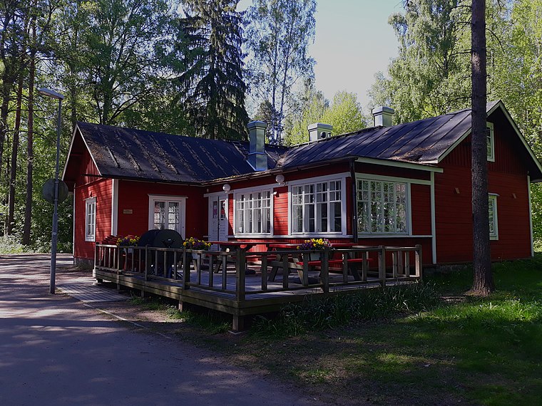
Photo: Puppe100, CC BY-SA 4.0.
Villa Ullas is a café, which is situated 380 metres northwest of Kalkkihiekantorin laivalaituri.
Vuosaari metro station
Metro station

Photo: Vihermarja, CC BY-SA 3.0.
Vuosaari metro station is the ground-level terminus station of the M1 line of the Helsinki Metro. It serves the district of Vuosaari in East Helsinki. The station was opened on 31 August 1998 and was designed by the architect firm Esa Piironen Oy. Vuosaari metro station is situated 1 km north of Kalkkihiekantorin laivalaituri.
Columbus
Shopping center

Photo: Gregorius, CC BY-SA 3.0.
Columbus is a shopping centre in Vuosaari, Helsinki, Finland, right next to the Vuosaari metro station. It is owned by Citycon. The centre was completed in August 1996. Columbus is situated 1 km north of Kalkkihiekantorin laivalaituri.
Places in the Area
Nearby places include Kallahti and Aurinkolahti.
Kallahti
Quarter

Photo: Jonik, CC BY-SA 3.0.
Kallahti is a neighborhood in the Vuosaari district of Helsinki, Finland. The area consists mainly of apartment buildings built between 1991 and 1999. There are 6,854 inhabitants in Kallahti.
Aurinkolahti
Quarter
Aurinkolahti is a young and fast-growing sub-neighbourhood of the East Helsinki neighbourhood of Vuosaari, in Helsinki, Finland. Aurinkolahti's original name was Mustalahti, but for marketing reasons the decision was made to update it.
Vuosaari
Suburb

Photo: Olli hki, CC BY-SA 3.0.
Vuosaari is a neighbourhood in the city of Helsinki, Finland. It is located by the sea in East Helsinki and with its area of 15.38 km2 is geographically the largest district in the city.
Kalkkihiekantorin laivalaituri
- Type: Station
- Categories: passenger ship terminal and transportation
- Location: Uusimaa, Southern Finland, Finland, Nordic countries, Europe
- View on OpenStreetMap
Latitude
60.19883° or 60° 11′ 56″ northLongitude
25.14092° or 25° 8′ 27″ eastOpen location code
9GG754XR+G9OpenStreetMap ID
node 459500961OpenStreetMap feature
amenity=ferry_terminalOpenStreetMap feature
public_transport=station
This page is based on OpenStreetMap, Wikidata, and Wikimedia Commons.
We’d love your help improving our open data sources. Thank you for contributing.
Satellite Map
Discover Kalkkihiekantorin laivalaituri from above in high-definition satellite imagery.
Notable Places Nearby
Highlights include Pikku Kallahden venesatama and Kalkkihiekantori.
Nearby Places
Explore places such as Kh-Kiinteistöpalvelut Oy, Juhan Talonmiespalvelu and M/S Annet.
Uusimaa: Must-Visit Destinations
Delve into Helsinki, Espoo, Vantaa, and Porvoo.
Curious Stations to Discover
Uncover intriguing stations from every corner of the globe.
About Mapcarta. Data © OpenStreetMap contributors and available under the Open Database License". Text is available under the CC BY-SA 4.0 license, except for photos, directions, and the map. Photo: Danapit, CC BY-SA 3.0.