Brahminy Kite
Brahminy Kite is a building in Dehiwala Divisional Secretariat, Colombo District, Western Province. Brahminy Kite is situated nearby to the garden Pony, as well as near the playground Children Park.| Tap on a place to explore it |
Places of Interest Nearby
Highlights include National Zoological Gardens of Sri Lanka and St. Lawrence’s Church.
National Zoological Gardens of Sri Lanka
Zoo
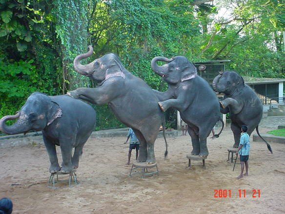
Photo: Wikimedia, CC BY-SA 1.0.
National Zoological Gardens of Sri Lanka is a zoological garden in Dehiwala, Sri Lanka, founded in 1936. The Dehiwala Zoo is now known for its mistreatment and poor facilities for the animals that inhabit it. National Zoological Gardens of Sri Lanka is situated 110 metres west of Brahminy Kite.
St. Lawrence’s Church
Church

Photo: AntanO, CC BY-SA 4.0.
St. Lawrence's Church is the seat of the Wellawatte parish of Roman Catholic Archdiocese of Colombo. It is located at Galle Road, Wellawatte, Colombo 06. St. Lawrence’s Church is situated 2 km northwest of Brahminy Kite.
Lanka Hospitals
Hospital
Lanka Hospital is multi-speciality tertiary care hospital in Sri Lanka and is one of the largest private hospitals in the country. It is a subsidiary of Sri Lanka Insurance Corporation. Lanka Hospitals is situated 3½ km north of Brahminy Kite.
Places in the Area
Nearby places include Dehiwala and Nugegoda.
Dehiwala
Town
Dehiwala is a suburban area in Colombo, Sri Lanka. It lies within the administrative boundaries of Dehiwala-Mount Lavinia Municipal Council. It is known for the zoo which houses thousands of animals and hundreds of species.
Nugegoda
Town

Photo: Honeplus, CC BY-SA 3.0.
Nugegoda is a large, densely populated suburb of Colombo, Sri Lanka. It is located just south of Sri Jayawardenapura Kotte/Maharagama and north-east of Dehiwela Mt. Lavinia. It has a population of over 250,000 people.
Boralesgamuwa
Town
Boralesgamuwa is a city on the Colombo-Horana Road about 14 km south-east of the commercial capital Colombo. The Boralesgamuwa junction was formerly known as Nagas Handiya. Boralesgamuwa is situated 3½ km southeast of Brahminy Kite.
Brahminy Kite
Latitude
6.85752° or 6° 51′ 27″ northLongitude
79.87504° or 79° 52′ 30″ eastOpen location code
6JRXVV5G+22OpenStreetMap ID
node 4620035377OpenStreetMap feature
building=yes
This page is based on OpenStreetMap, Wikidata, and Wikimedia Commons.
We’d love your help improving our open data sources. Thank you for contributing.
Satellite Map
Discover Brahminy Kite from above in high-definition satellite imagery.
Places with the Same Name
Discover other places named “Brahminy Kite”.
Notable Places Nearby
Highlights include Pony and Children Park.
Nearby Places
Explore places such as Red Macaw and Sloth Bear.
Western Province: Must-Visit Destinations
Delve into Colombo, Sri Jayawardenapura Kotte, Negombo, and Beruwela.
Curious Buildings to Discover
Uncover intriguing buildings from every corner of the globe.
About Mapcarta. Data © OpenStreetMap contributors and available under the Open Database License". Text is available under the CC BY-SA 4.0 license, except for photos, directions, and the map. Photo: Simisa, CC BY-SA 3.0.