Jane White Cosmetics
Jane White Cosmetics is a cosmetic shop in Big Rock Township, Pulaski, Arkansas which is located on Innwood Circle. Jane White Cosmetics is situated nearby to the post office Westside Station, as well as near Little Rock Bop Club.| Tap on a place to explore it |
Places of Interest Nearby
Highlights include Pulaski Academy.
Pulaski Academy
School
Pulaski Academy is a private, independent college preparatory preschool, elementary, and junior/senior high school headed by Brock Dunn in the Pleasant Valley neighborhood of Little Rock, Arkansas, United States. Pulaski Academy is situated 1 mile northwest of Jane White Cosmetics.
Places in the Area
Nearby places include Big Rock Interchange and Cammack Village.
Big Rock Interchange
Locality
The Big Rock Interchange is the I-430/I-630/Chenal Parkway interchange in west Little Rock, Arkansas. The name is derived from a large rock formation discovered during expansion.
Cammack Village
Village
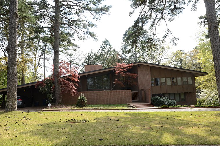
Photo: Valis55, CC BY-SA 3.0.
Cammack Village is a city in Pulaski County, Arkansas, United States. The population was 778 as of the 2020 census. It is part of the Little Rock–North Little Rock–Conway metropolitan area. Cammack Village is situated 3 miles east of Jane White Cosmetics.
Pulaski Heights
Hamlet
Pulaski Heights is a section of the city of Little Rock, Arkansas, located in the north-central portion of the city. Locally, the area is referred to as the Heights. Pulaski Heights is situated 4½ miles east of Jane White Cosmetics.
Jane White Cosmetics
- Type: Cosmetic shop
- Address: 105, 3 Innwood Circle, Little Rock, AR 72211
- Category: shop
- Location: Big Rock Township, Pulaski, Arkansas, South, United States, North America
- View on OpenStreetMap
Latitude
34.76571° or 34° 45′ 57″ northLongitude
-92.39882° or 92° 23′ 56″ westOpen location code
8669QJ82+7FOpenStreetMap ID
node 4620607766OpenStreetMap feature
shop=cosmetics
This page is based on OpenStreetMap, Wikidata, and Wikimedia Commons.
We’d love your help improving our open data sources. Thank you for contributing.
Satellite Map
Discover Jane White Cosmetics from above in high-definition satellite imagery.
Notable Places Nearby
Highlights include Westside Station and Little Rock Bop Club.
Nearby Places
Explore places such as The Burgundy Hotel and The Ballroom on Shackleford.
Arkansas: Must-Visit Destinations
Delve into Little Rock, Fayetteville, Fort Smith, and Jonesboro.
Curious Cosmetic Shops to Discover
Uncover intriguing cosmetic shops from every corner of the globe.
About Mapcarta. Data © OpenStreetMap contributors and available under the Open Database License". Text is available under the CC BY-SA 4.0 license, except for photos, directions, and the map. Photo: Wikimedia, CC0.