Hadanig Gasthaus Wanker
Hadanig Gasthaus Wanker is a bus stop in Techelsberg am Wörther See, Klagenfurt-Land District, Carinthia. Hadanig Gasthaus Wanker is situated nearby to the church ehem. Kapelle, as well as near the peak Trabeniger Berg.| Tap on a place to explore it |
Places of Interest Nearby
Highlights include Glan and Pfarrkirche Hl. Martin.
Glan
Spring

Photo: Johann Jaritz, CC BY-SA 3.0 at.
The Glan is a river in Carinthia, Austria, a right tributary of the Gurk. It is 64.3 km long. Its drainage basin is 825.2 km2. It rises north of the Wörthersee in the Ossiach Tauern, then running through Feldkirchen, going northeastwards passing the castle Burgruine Glanegg until it reaches Sankt Veit where it bends sharply towards south.
Pfarrkirche Hl. Martin
Church

Photo: Johann Jaritz, CC BY-SA 4.0.
Pfarrkirche Hl. Martin is a church, which is situated 1 km east of Hadanig Gasthaus Wanker.
Cemetery St. Martin am Techelsberg
Cemetery

Photo: Naturpuur, CC BY-SA 4.0.
Cemetery St. Martin am Techelsberg is situated 1 km east of Hadanig Gasthaus Wanker.
Places in the Area
Nearby places include Velden and Köstenberg.
Velden

Photo: Johann Jaritz, CC BY-SA 4.0.
Velden am Wörther See is a market town in Villach-Land District, in the Austrian state of Carinthia. Situated on the western shore of the Wörthersee lake, it is one of the country's most popular holiday resorts.
Köstenberg
Village

Photo: Johann Jaritz, CC BY-SA 3.0.
Köstenberg is a village, which is situated 5 km west of Hadanig Gasthaus Wanker.
Schiefling am Wörthersee
Village
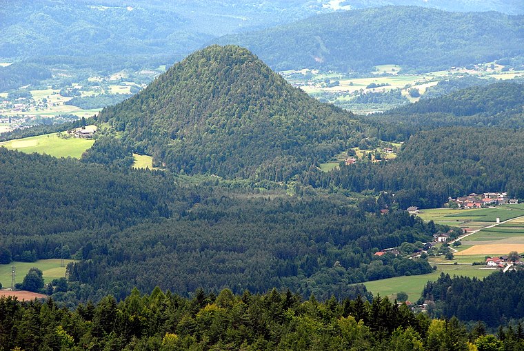
Photo: Johann Jaritz, CC BY-SA 3.0 at.
Schiefling am Wörthersee is a market town in the district of Klagenfurt-Land in the Austrian state of Carinthia. Schiefling am Wörthersee is situated 5 km south of Hadanig Gasthaus Wanker.
Hadanig Gasthaus Wanker
- Type: Bus stop
- Categories: transport stop and transportation
- Location: Techelsberg am Wörther See, Klagenfurt-Land District, Carinthia, Austria, Central Europe, Europe
- View on OpenStreetMap
Latitude
46.64867° or 46° 38′ 55″ northLongitude
14.07784° or 14° 4′ 40″ eastOpen location code
8FRPJ3XH+F4OpenStreetMap ID
node 4621920877OpenStreetMap feature
public_transport=stop_position
This page is based on OpenStreetMap, Wikidata, and Wikimedia Commons.
We’d love your help improving our open data sources. Thank you for contributing.
Satellite Map
Discover Hadanig Gasthaus Wanker from above in high-definition satellite imagery.
Notable Places Nearby
Highlights include ehem. Kapelle and Trabeniger Berg.
Nearby Places
Explore places such as Hadanig Gasthaus Wanker and Biogasthaus Wanker.
Carinthia: Must-Visit Destinations
Delve into Klagenfurt, Villach, Wörthersee, and Spittal an der Drau.
Curious Bus Stops to Discover
Uncover intriguing bus stops from every corner of the globe.
About Mapcarta. Data © OpenStreetMap contributors and available under the Open Database License". Text is available under the CC BY-SA 4.0 license, except for photos, directions, and the map. Photo: Wikimedia, CC BY-SA 3.0.