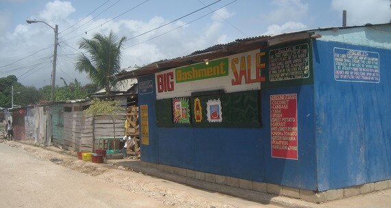
Gaagan Shop
Gaagan Shop is a convenience store in Molynes Four Roads, Saint Andrew Parish which is located on Tarrant Drive. Gaagan Shop is situated nearby to Hope Fellowship Church, as well as near the marketplace Mid Town Farmer’s Market.| Tap on a place to explore it |
Places of Interest Nearby
Highlights include Trinity Moravian Church and Emancipation Park.
Trinity Moravian Church
Place of worship

Photo: Fred Linyard, CC BY-SA 2.0 uk.
Trinity Moravian church houses a congregation of the Jamaican province of the Moravian Church. It was established in 1954 as part of the bicentenary celebrations of the Moravian Church in Jamaica. Trinity Moravian Church is situated 1 km southwest of Gaagan Shop.
Emancipation Park
Park
Emancipation Park is a public park in Kingston, Jamaica. The park is in New Kingston, opened on 31 July 2002, the day before Emancipation Day. Prime Minister P.J.
Merl Grove High School
School
Merl Grove High School is a high school in Kingston, Jamaica. Merl Grove High School is situated 1½ km northeast of Gaagan Shop.
Places in the Area
Nearby places include Half Way Tree and Crossroads.
Half Way Tree
Suburb

Photo: Raw9345, CC BY-SA 3.0.
Half Way Tree is a neighbourhood in the city of Kingston, Jamaica. It is the parish capital of St. Andrew. Half Way Tree is served by the Kingston 10 post office.
Crossroads
Suburb
Cross Roads is a primarily commercial neighbourhood of Kingston, Jamaica. It is centered on the intersection of five major roads: Slipe Road, Half Way Tree Road, Old Hope Road, Caledonia Avenue and Marescaux Road. Crossroads is situated 3 km southeast of Gaagan Shop.
Trenchtown
Neighborhood
 Trench Town is a neighbourhood located in the parish of St. Andrew, part of which is in Kingston, the capital and largest city of Jamaica. Today Trench Town is the location of the Trench Town Culture Yard Museum, a National Heritage Site presenting the unique history and contribution of Trench Town to Jamaica. Trenchtown is situated 3 km south of Gaagan Shop.
Gaagan Shop
- Type: Convenience store
- Address: Tarrant Drive
- Categories: shop and food
- Location: Molynes Four Roads, Saint Andrew Parish, Jamaica, Caribbean, North America
- View on OpenStreetMap
Latitude
18.01285° or 18° 0′ 46″ northLongitude
-76.80403° or 76° 48′ 15″ westOperator
GaganOpen location code
77C5257W+49OpenStreetMap ID
node 4649321489OpenStreetMap feature
shop=convenience
This page is based on OpenStreetMap, Wikidata, and Wikimedia Commons.
We’d love your help improving our open data sources. Thank you for contributing.
Satellite Map
Discover Gaagan Shop from above in high-definition satellite imagery.
Notable Places Nearby
Highlights include Hope Fellowship Church and Mid Town Farmer’s Market.
Nearby Places
Explore places such as Glass World and Ming Wholesale and Retail.
Jamaica: Must-Visit Destinations
Delve into Kingston, Montego Bay, Portmore, and Blue Mountains.
Curious Convenience Stores to Discover
Uncover intriguing convenience stores from every corner of the globe.
About Mapcarta. Data © OpenStreetMap contributors and available under the Open Database License". Text is available under the CC BY-SA 4.0 license, except for photos, directions, and the map. Photo: papushin, CC BY-SA 2.0.