Reitstall am Hundsbühl
Reitstall am Hundsbühl is in Hiltpoltstein, Forchheim, Bavaria. Reitstall am Hundsbühl is situated nearby to the town hall Gemeindekanzlei, as well as near Kirchfelsen in Hiltpoltstein.| Tap on a place to explore it |
Places of Interest Nearby
Highlights include Hiltpoltstein Castle and Pfarrkirche.
Hiltpoltstein Castle
 Hiltpoltstein Castle was originally a high mediaeval aristocratic castle dating to the 11th or 12th century. It stands in the centre of the market village of Markt Hiltpoltstein in the Upper Franconian county of Forchheim in the south German state of Bavaria. Hiltpoltstein Castle is situated 350 metres south of Reitstall am Hundsbühl.
Pfarrkirche
Church
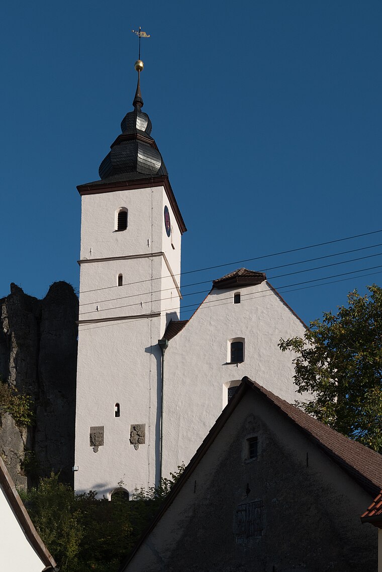
Photo: Tilman2007, CC BY-SA 4.0.
Pfarrkirche is a church, which is situated 320 metres south of Reitstall am Hundsbühl.
Kirchfelsen in Hiltpoltstein
 Kirchfelsen in Hiltpoltstein is situated 300 metres south of Reitstall am Hundsbühl.
Places in the Area
Nearby places include Kappel and Görbitz.


Reitstall am Hundsbühl
- Type: Trail riding
- Categories: tourism and sports location
- Location: Hiltpoltstein, Forchheim, Upper Franconia, Franconia, Bavaria, Germany, Central Europe, Europe
- View on OpenStreetMap
Latitude
49.66288° or 49° 39′ 46″ northLongitude
11.32053° or 11° 19′ 14″ eastOpen location code
8FXHM87C+56OpenStreetMap ID
node 4674173412OpenStreetMap feature
amenity=stablesOpenStreetMap feature
tourism=trail_riding_station
This page is based on OpenStreetMap, Wikidata, and Wikimedia Commons.
We’d love your help improving our open data sources. Thank you for contributing.
Satellite Map
Discover Reitstall am Hundsbühl from above in high-definition satellite imagery.
Notable Places Nearby
Highlights include Gemeindekanzlei and Stadttor.
Nearby Places
Explore places such as Elektro Leibinger and Gasthof Aures.
Upper Franconia: Must-Visit Destinations
Delve into Bamberg, Bayreuth, Coburg, and Hof.
Curious Places to Discover
Uncover intriguing places from every corner of the globe.
About Mapcarta. Data © OpenStreetMap contributors and available under the Open Database License". Text is available under the CC BY-SA 4.0 license, except for photos, directions, and the map. Photo: Wikimedia, CC0.