Marco de Freguesia AN 1
Marco de Freguesia AN 1 is a geographical marker in Barcelos, V. Boa, V. Frescainha, Barcelos, Braga District. Marco de Freguesia AN 1 is situated nearby to the church Alminhas de Santo Amaro, as well as near Capela de Santo Amaro.| Tap on a place to explore it |
Places of Interest Nearby
Highlights include Estádio Cidade de Barcelos and Paço dos Duques de Bragança.
Estádio Cidade de Barcelos
Stadium

Photo: JP Ribeiro, CC BY-SA 4.0.
The Estádio Cidade de Barcelos is a multi-use stadium in Barcelos, Portugal. It is mostly used for football matches. It is the home of Primeira Liga side Gil Vicente. Estádio Cidade de Barcelos is situated 1¼ km northeast of Marco de Freguesia AN 1.
Paço dos Duques de Bragança
Archaeological site

Photo: Joseolgon, CC BY-SA 4.0.
Paço dos Duques de Bragança is an archaeological site, which is situated 1½ km southeast of Marco de Freguesia AN 1.
Museu de Olaria
Museum
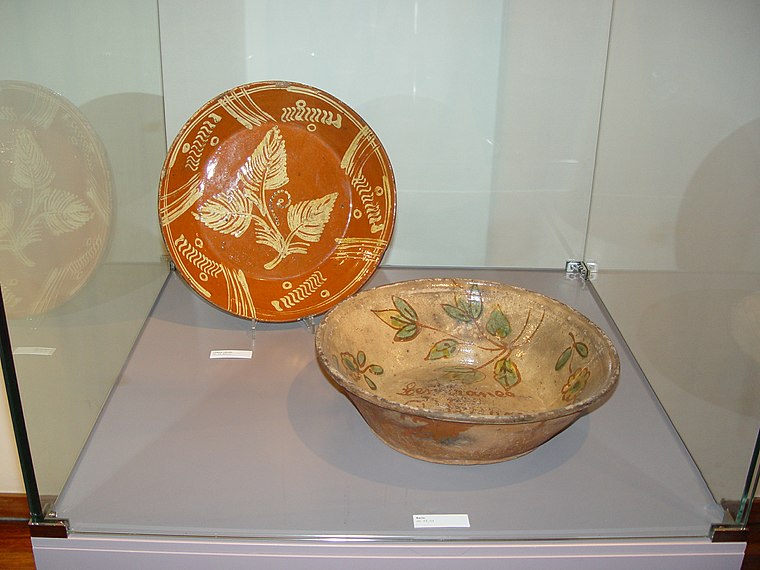
Photo: Joseolgon, CC BY-SA 3.0.
Museu de Olaria is a museum, which is situated 1½ km southeast of Marco de Freguesia AN 1.
Places in the Area
Nearby places include Vila Frescainha and Arcozelo.
Vila Frescainha
Village
Barcelos, Vila Boa e Vila Frescainha is a civil parish in the municipality of Barcelos, Portugal. It was formed in 2013 by the merger of the former parishes Barcelos, Vila Boa, Vila Frescainha and Vila Frescainha.
Arcozelo
Suburb
Arcozelo is a Portuguese freguesia in the municipality of Barcelos. The population in 2011 was 12,840, in an area of 3.44 km². It is the most populated parish in the municipality.
Vila Frescainha
Village
Barcelos, Vila Boa e Vila Frescainha is a civil parish in the municipality of Barcelos, Portugal. It was formed in 2013 by the merger of the former parishes Barcelos, Vila Boa, Vila Frescainha and Vila Frescainha.
Marco de Freguesia AN 1
- Type: Geographical marker
- Category: historic site
- Location: Barcelos, V. Boa, V. Frescainha, Barcelos, Braga District, Portugal, Iberia, Europe
- View on OpenStreetMap
Latitude
41.54166° or 41° 32′ 30″ northLongitude
-8.63004° or 8° 37′ 48″ westOpen location code
8CHHG9R9+MXOpenStreetMap ID
node 4682247109OpenStreetMap feature
historic=boundary_stone
This page is based on OpenStreetMap, Wikidata, and Wikimedia Commons.
We’d love your help improving our open data sources. Thank you for contributing.
Satellite Map
Discover Marco de Freguesia AN 1 from above in high-definition satellite imagery.
Notable Places Nearby
Highlights include Alminhas de Santo Amaro and Capela de Santo Amaro.
Nearby Places
Explore places such as Marco de Freguesia AN 2 and Malhas Carregal.
Portugal: Must-Visit Destinations
Delve into Lisbon, Caldas da Rainha, Porto, and Coimbra.
Curious Geographical Markers to Discover
Uncover intriguing geographical markers from every corner of the globe.
About Mapcarta. Data © OpenStreetMap contributors and available under the Open Database License". Text is available under the CC BY-SA 4.0 license, except for photos, directions, and the map. Photo: Sqjaques, CC BY-SA 4.0.