Calderón y Avenida Salvat
Calderón y Avenida Salvat is a bus stop in Rosario Department, Santa Fe. Calderón y Avenida Salvat is situated nearby to the church Parroquia Maria de Nazaret, as well as near the community center Grupo Scout Sebastián Vitale.| Tap on a place to explore it |
Places of Interest Nearby
Highlights include Villa Hortensia and Hospital Escuela Eva Perón.
Villa Hortensia
Tourism office

Photo: Pablo-flores, CC BY-SA 2.5.
Villa Hortensia is a mansion in the city of Rosario, province of Santa Fe, Argentina. It is located on 1917 Warnes St. in Barrio Alberdi, in the north-eastern part of Rosario. Villa Hortensia is situated 3½ km east of Calderón y Avenida Salvat.
Hospital Escuela Eva Perón
Hospital
Granadero Baigorria is a city in the south of the province of Santa Fe, Argentina, located directly north of Rosario, on the western shore of the Paraná River, and forming part of the Greater Rosario metropolitan area. Hospital Escuela Eva Perón is situated 4 km northeast of Calderón y Avenida Salvat.
Sarratea railway station
Railway station

Photo: Pablo-flores, CC BY-SA 3.0.
Sarratea is a former railway station located in the north of the city of Rosario, Santa Fe, Argentina. Private company Nuevo Central Argentino which operates the line for freight services, although the station is no longer active. Sarratea railway station is situated 3 km east of Calderón y Avenida Salvat.
Places in the Area
Nearby places include Granadero Baigorria and Ibarlucea.
Granadero Baigorria
Town

Photo: Egm ar, CC BY-SA 4.0.
Granadero Baigorria is a city in the south of the province of Santa Fe, Argentina, located directly north of Rosario, on the western shore of the Paraná River, and forming part of the Greater Rosario metropolitan area. Granadero Baigorria is situated 4 km northeast of Calderón y Avenida Salvat.
Ibarlucea
Village
Ibarlucea is a town in the province of Santa Fe, Argentina. It has 4,402 inhabitants per the 2010 census. It is located on National Route 34, immediately north-west of Rosario, forming part of the Greater Rosario metropolitan area, and 155 km south of the provincial capital Santa Fe. Ibarlucea is situated 6 km northwest of Calderón y Avenida Salvat.
Capitán Bermúdez
Town
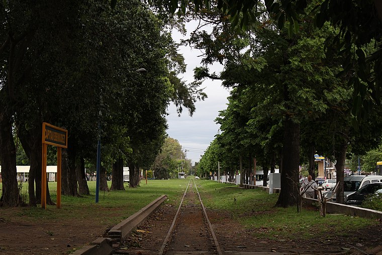
Photo: Sofia cimolai, CC BY-SA 4.0.
Capitán Bermúdez is a city in the province of Santa Fe, Argentina, located within the metropolitan area of Greater Rosario, on the western shore of the Paraná River. Capitán Bermúdez is situated 8 km north of Calderón y Avenida Salvat.
Calderón y Avenida Salvat
- Type: Bus stop
- Category: transportation
- Location: Rosario Department, Santa Fe, Pampas, Argentina, South America
- View on OpenStreetMap
Latitude
-32.88347° or 32° 53′ 1″ southLongitude
-60.73124° or 60° 43′ 52″ westOpen location code
47VX4789+JGOpenStreetMap ID
node 4705809978OpenStreetMap feature
highway=bus_stopOpenStreetMap feature
public_transport=platform
This page is based on OpenStreetMap, Wikidata, and Wikimedia Commons.
We’d love your help improving our open data sources. Thank you for contributing.
Satellite Map
Discover Calderón y Avenida Salvat from above in high-definition satellite imagery.
Notable Places Nearby
Highlights include Parroquia Maria de Nazaret and Grupo Scout Sebastián Vitale.
Nearby Places
Explore places such as 8893 and Escuela 1226 Gesta de Mayo.
Curious Bus Stops to Discover
Uncover intriguing bus stops from every corner of the globe.
About Mapcarta. Data © OpenStreetMap contributors and available under the Open Database License". Text is available under the CC BY-SA 4.0 license, except for photos, directions, and the map. Photo: Wikimedia, CC0.