Höchiberg
Höchiberg is in Attinghausen, Uri and has an elevation of 1,436 metres. Höchiberg is situated nearby to the pitch Unteres Bocki, as well as near the church Waldnacht Kapelle.| Tap on a place to explore it |
Places of Interest Nearby
Highlights include Attinghausen Castle and Erstfeld railway station.
Attinghausen Castle
Castle

Photo: Roland Zumbuehl, CC BY-SA 3.0.
Attinghausen Castle is a ruined medieval castle in the municipality of Attinghausen in the canton of Uri in Switzerland. It is a Swiss heritage site of national significance. Attinghausen Castle is situated 3 km northeast of Höchiberg.
Erstfeld railway station
Railway station
 Erstfeld railway station is a railway station in the Swiss canton of Uri and municipality of Erstfeld. The station is situated on the original line of the Gotthard railway, at the foot of the ramp up to the Gotthard Tunnel. Erstfeld railway station is situated 4 km southeast of Höchiberg.
Katholische Kirche St. Andreas, Friedhofkapelle, Pfarrhaus und Beinhaus St. Ottilien
Church
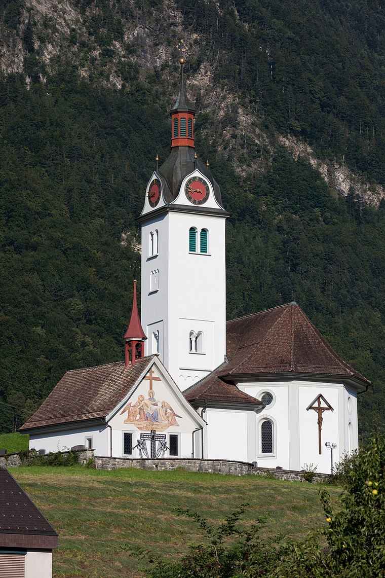
Photo: Roland Zumbuehl, CC BY 3.0.
Katholische Kirche St. Andreas, Friedhofkapelle, Pfarrhaus und Beinhaus St. Ottilien is a church, which is situated 3 km northeast of Höchiberg.
Places in the Area
Nearby places include Erstfeld and Schattdorf.
Erstfeld
Village

Photo: Manfred Heyde, CC BY-SA 3.0.
Erstfeld is a municipality in the canton of Uri in Switzerland. Erstfeld is situated 4 km southeast of Höchiberg.
Schattdorf
Village

Photo: Wikimedia, Public domain.
Schattdorf is a village and a municipality in the canton of Uri in Switzerland. Schattdorf is situated 4 km northeast of Höchiberg.
Seedorf
Village

Photo: F64.ch, CC BY-SA 3.0.
Seedorf is a municipality in the canton of Uri in Switzerland. On 1 January 2021 the former municipality of Bauen merged into the municipality of Seedorf. Seedorf is situated 4½ km north of Höchiberg.
Höchiberg
- Type: Sign
- Categories: information and tourism
- Location: Attinghausen, Uri, Canton of Uri, Switzerland, Central Europe, Europe
- View on OpenStreetMap
Latitude
46.84094° or 46° 50′ 27″ northLongitude
8.60887° or 8° 36′ 32″ eastElevation
1,436 metres (4,711 feet)Open location code
8FRCRJR5+9GOpenStreetMap ID
node 470601220OpenStreetMap feature
tourism=information
This page is based on OpenStreetMap, Wikidata, and Wikimedia Commons.
We’d love your help improving our open data sources. Thank you for contributing.
Satellite Map
Discover Höchiberg from above in high-definition satellite imagery.
Notable Places Nearby
Highlights include Waldnacht Kapelle and Unteres Bocki.
Nearby Places
Explore places such as Brüsti and Berggasthaus Brüsti.
Switzerland: Must-Visit Destinations
Delve into Zurich, Berne, Geneva, and Basel.
Curious Places to Discover
Uncover intriguing places from every corner of the globe.
About Mapcarta. Data © OpenStreetMap contributors and available under the Open Database License". Text is available under the CC BY-SA 4.0 license, except for photos, directions, and the map. Photo: Aniacra, CC BY-SA 4.0.