Crêt Pourri
Crêt Pourri is a peak in Saint-Claude, Jura, Bourgogne-Franche-Comté and has an elevation of 1,029 metres. Crêt Pourri is situated nearby to the hamlet La Main Morte, as well as near the locality Gorges de l’Abîme.| Tap on a place to explore it |
Places of Interest
Highlights include Horse Tail Falls and Saint-Claude railway station.


Places in the Area
Nearby places include Lamoura and Lajoux.
Lamoura
Village
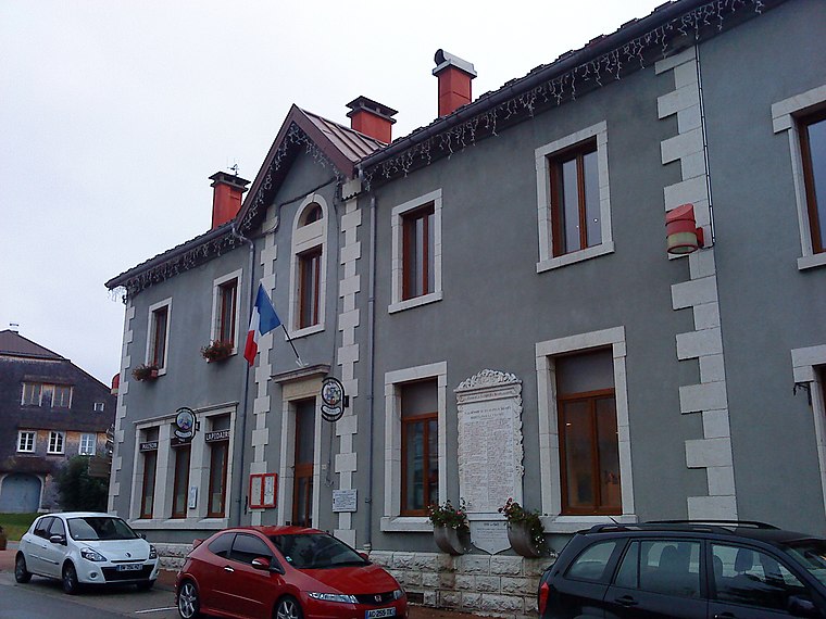
Photo: Patrub01, CC BY-SA 3.0.
Lamoura is a commune in the Jura department in Bourgogne-Franche-Comté in eastern France.
Lajoux
Village

Photo: Prankster, Public domain.
Lajoux is a commune in the Jura department in Bourgogne-Franche-Comté in eastern France.

Crêt Pourri
- Type: Peak with an elevation of 1,029 metres
- Description: mountain in France
- Categories: mountain and landform
- Location: Saint-Claude, Arrondissement of Saint-Claude, Jura, Franche-Comté, Bourgogne-Franche-Comté, France, Europe
- View on OpenStreetMap
Latitude
46.399° or 46° 23′ 56″ northLongitude
5.902° or 5° 54′ 7″ eastElevation
1,029 metres (3,376 feet)Open location code
8FR79WX2+HQOpenStreetMap ID
node 4714307059OpenStreetMap feature
natural=peakWikidata ID
Q3006345
This page is based on OpenStreetMap, Wikidata, and Wikimedia Commons.
We’d love your help improving our open data sources. Thank you for contributing.
Satellite Map
Discover Crêt Pourri from above in high-definition satellite imagery.
In Other Languages
From Dutch to Ladin—“Crêt Pourri” goes by many names.
- Dutch: “Crêt Pourri”
- French: “crêt Pourri”
- French: “Crêt Pourri”
- French: “Le Crêt Pourri”
- Ladin: “Crêt Pourri”
Localities in the Area
Explore places such as La Main Morte and Le Pontet.
Notable Places Nearby
Highlights include Grotte du Frênois and Horse Tail Falls.
Franche-Comté: Must-Visit Destinations
Delve into Besançon, Vesoul, Dole, and Nans-sous-Sainte-Anne.
Curious Peaks to Discover
Uncover intriguing peaks from every corner of the globe.
About Mapcarta. Data © OpenStreetMap contributors and available under the Open Database License". Text is available under the CC BY-SA 4.0 license, except for photos, directions, and the map. Photo: Wikimedia, CC BY-SA 3.0.