Suma
Suma is a supermarket in Sant Martí, Barcelona, Catalonia. Suma is situated nearby to the work of art Llar per a la tortuga dels vuit anells, as well as near the church Parròquia de Sant Josep de Calasanç.| Tap on a place to explore it |
Places of Interest Nearby
Highlights include Hospital de Sant Pau and Camp de l’Arpa.
Hospital de Sant Pau
Hospital

Photo: Matinibz, CC BY-SA 3.0.
The former Hospital de la Santa Creu i Sant Pau in the neighborhood of El Guinardó, Barcelona, Catalonia, Spain, is a complex built between 1901 and 1930. Hospital de Sant Pau is situated 580 metres west of Suma.
Camp de l’Arpa
Railway stop

Photo: KRLS, CC BY-SA 3.0.
Camp de l'Arpa is a station on line 5 of the Barcelona Metro. It is named after the neighbourhood of the same name in the Sant Martí district. The station is located underneath Carrer Indústria, between Passeig Maragall and Carrer Guinardó. Camp de l’Arpa is situated 160 metres north of Suma.
Llar per a la tortuga dels vuit anells
Work of art

Photo: Herodotptlomeu, CC BY-SA 3.0 es.
Llar per a la tortuga dels vuit anells is a work of art.
Places in the Area
Nearby places include El Camp de l’Arpa del Clot and El Guinardó.
El Camp de l’Arpa del Clot
Neighborhood

Photo: Mutari, Public domain.
El Camp de l'Arpa del Clot is one of the ten neighborhoods of Barcelona which compose the district of Sant Martí, Catalonia. It was annexed by Barcelona in the year 1897. It is situated in the upper part of this district and before it was named Camp de l'Arca.
El Guinardó
Quarter
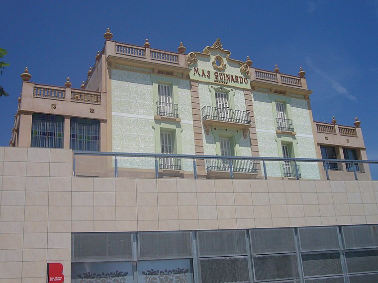
Photo: Jordiferrer, CC BY-SA 3.0.
El Guinardó is a neighborhood in the Horta-Guinardó district of Barcelona.
El Clot
Quarter

Photo: Amadalvarez, CC BY 3.0.
El Clot is a neighborhood in the Sant Martí district of Barcelona, Catalonia. It is one of the oldest parts of the district that has been around since the medieval times under the name Clotum Melis.
Suma
- Type: Supermarket
- Categories: shop and food
- Location: Sant Martí, Barcelona, Barcelona, Catalonia, Eastern Spain, Spain, Iberia, Europe
- View on OpenStreetMap
Latitude
41.41325° or 41° 24′ 48″ northLongitude
2.18089° or 2° 10′ 51″ eastBrand
SumaOpen location code
8FH4C57J+89OpenStreetMap ID
node 4727974889OpenStreetMap feature
shop=supermarket
This page is based on OpenStreetMap, Wikidata, and Wikimedia Commons.
We’d love your help improving our open data sources. Thank you for contributing.
Satellite Map
Discover Suma from above in high-definition satellite imagery.
In Other Languages
“Suma” goes by many names.
- Catalan: “Suma”
Places with the Same Name
Discover other places named “Suma”.
Notable Places Nearby
Highlights include Parròquia de Sant Josep de Calasanç and Carrer de la Muntanya.
Nearby Places
Explore places such as BonÀrea and Pika Tapa.
Barcelona: Must-Visit Destinations
Delve into Ciutat Vella, Eixample, Gràcia, and Sants-Montjuïc.
Curious Supermarkets to Discover
Uncover intriguing supermarkets from every corner of the globe.
About Mapcarta. Data © OpenStreetMap contributors and available under the Open Database License". Text is available under the CC BY-SA 4.0 license, except for photos, directions, and the map. Photo: phyrephox, CC BY-SA 2.0.