Kirchhatten, Twiestweg
Kirchhatten, Twiestweg is an electrical substation in Hatten, Oldenburg, Lower Saxony. Kirchhatten, Twiestweg is situated nearby to the nature reserve Geer Moor, as well as near Hatter Holz.| Tap on a place to explore it |
Places of Interest Nearby
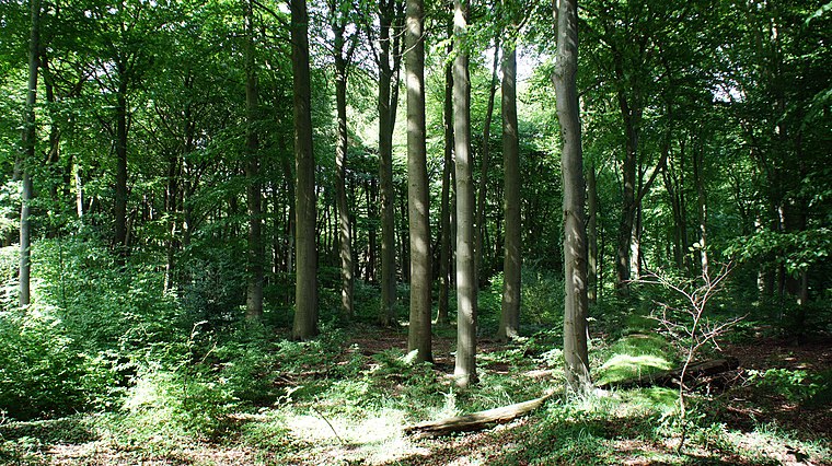
Highlights include Geer Moor and Hatter Holz.

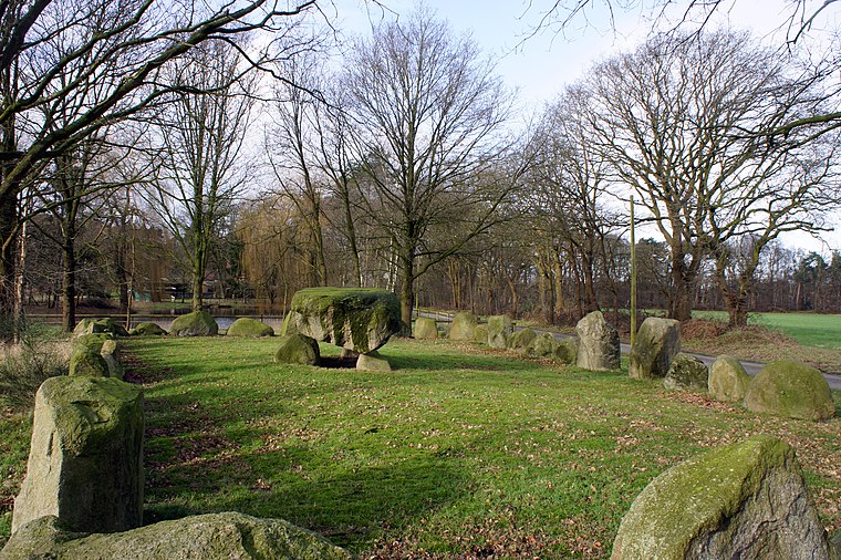
Hexenstein
Stone

Photo: Ralf Krebs, CC BY 3.0.
Hexenstein is a stone, which is situated 3 km south of Kirchhatten, Twiestweg.
Places in the Area
Nearby places include Kirchhatten and Dingstede.
Kirchhatten
Village

Photo: Jacek79, CC BY-SA 3.0.
Kirchhatten is a village, which is situated 3 km west of Kirchhatten, Twiestweg.
Dingstede
Village
 Dingstede is a village, which is situated 4 km northeast of Kirchhatten, Twiestweg.

Kirchhatten, Twiestweg
- Type: Electrical substation
- Category: industry
- Location: Hatten, Oldenburg, Lower Saxony, Germany, Central Europe, Europe
- View on OpenStreetMap
Latitude
53.01492° or 53° 0′ 54″ northLongitude
8.38962° or 8° 23′ 23″ eastOperator
EWE NetzOpen location code
9F5C297Q+XROpenStreetMap ID
node 4734805287OpenStreetMap feature
man_made=street_cabinet
This page is based on OpenStreetMap, Wikidata, and Wikimedia Commons.
We’d love your help improving our open data sources. Thank you for contributing.
Satellite Map
Discover Kirchhatten, Twiestweg from above in high-definition satellite imagery.
Notable Places Nearby
Highlights include Die Dwokuhle and Schützenverein Hatten e.V..
Nearby Places
Explore places such as Hinterm Holz 11 and Hof Rathkamp.
Lower Saxony: Must-Visit Destinations
Delve into Hanover, Göttingen, Brunswick, and Wolfsburg.
Curious Electrical Substations to Discover
Uncover intriguing electrical substations from every corner of the globe.
About Mapcarta. Data © OpenStreetMap contributors and available under the Open Database License". Text is available under the CC BY-SA 4.0 license, except for photos, directions, and the map. Photo: Danapit, CC BY-SA 3.0.