Pian del Borla
Pian del Borla is a locality in Castaneda, Region Moesa, Graubünden. Pian del Borla is situated nearby to the locality Al Ronch, as well as near Pancald.| Tap on a place to explore it |
Places of Interest
Highlights include Santa Maria in Calanca Castle and Church of St. Mary of the Assumption and parish house (old convent).
Santa Maria in Calanca Castle
Castle

Photo: Parpan05, CC BY-SA 3.0.
Santa Maria in Calanca Castle is a tower in the municipality of Santa Maria in Calanca of the Canton of Graubünden in Switzerland. It, along with the neighboring Church of the Assumption of St. Mary, are both Swiss heritage sites of national significance.
Church of St. Mary of the Assumption and parish house (old convent)
Church

Photo: Mike Switzerland, CC BY-SA 4.0.
Torre Fiorenzana
Castle

Photo: Parpan05, CC BY-SA 3.0.
Torre Fiorenzana is a castle in the municipality of Grono of the Canton of Graubünden in Switzerland. It is a Swiss heritage site of national significance.
Places in the Area
Nearby places include Santa Maria in Calanca and Grono.
Santa Maria in Calanca
Village

Photo: Wikimedia, CC BY-SA 3.0.
Santa Maria in Calanca is a municipality in the Moesa Region in the Swiss canton of the Grisons.
Grono
Village
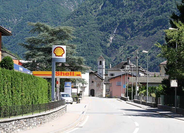
Photo: Parpan05, CC BY-SA 3.0.
Grono is a municipality in the Moesa Region in the Italian speaking part of the Swiss canton of Grisons. On 1 January 2017 the former municipalities of Leggia and Verdabbio merged into the municipality of Grono.
Verdabbio
Village

Photo: Zenit, CC BY-SA 3.0.
Verdabbio is a former municipality in the district of Moesa in the Swiss canton of Graubünden. On 1 January 2017 the former municipalities of Leggia and Verdabbio merged into the municipality of Grono.
Pian del Borla
- Type: Locality
- Location: Castaneda, Region Moesa, Graubünden, Switzerland, Central Europe, Europe
- View on OpenStreetMap
Latitude
46.25974° or 46° 15′ 35″ northLongitude
9.13686° or 9° 8′ 13″ eastOpen location code
8FRF745P+VPOpenStreetMap ID
node 4784471038OpenStreetMap feature
place=locality
This page is based on OpenStreetMap, Wikidata, and Wikimedia Commons.
We’d love your help improving our open data sources. Thank you for contributing.
Satellite Map
Discover Pian del Borla from above in high-definition satellite imagery.
Localities in the Area
Explore places such as Al Ronch and Pancald.
Notable Places Nearby
Highlights include mulino and Piazza de Sbocch.
Graubünden: Must-Visit Destinations
Delve into Davos, Chur, St. Moritz, and Arosa.
Curious Localities to Discover
Uncover intriguing localities from every corner of the globe.
About Mapcarta. Data © OpenStreetMap contributors and available under the Open Database License". Text is available under the CC BY-SA 4.0 license, except for photos, directions, and the map. Photo: Martingarten, CC BY-SA 3.0.