Grabstelle Werner Seelenbinder
Grabstelle Werner Seelenbinder is a tomb in Berlin, Berlin. Grabstelle Werner Seelenbinder is situated nearby to the sports venue Werner-Seelenbinder-Sportpark, as well as near the recreation area Eisstadion Neukölln.| Tap on a place to explore it |
Places of Interest Nearby
Highlights include Werner-Seelenbinder-Sportpark and Shooting centre Berliner Schützengesellschaft 1882.
Werner-Seelenbinder-Sportpark
Sports venue
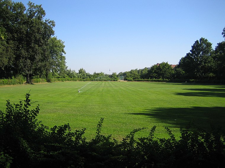
Photo: Denis Apel, CC BY-SA 3.0.
Werner-Seelenbinder-Sportpark is a sports venue.
Shooting centre Berliner Schützengesellschaft 1882
Community center

Photo: Singlespeedfahrer, CC0.
Shooting centre Berliner Schützengesellschaft 1882 is a community center, which is situated 180 metres northeast of Grabstelle Werner Seelenbinder.
Tiny forest Oderstraße
Garden

Photo: Singlespeedfahrer, CC0.
Tiny forest Oderstraße is a garden, which is situated 180 metres north of Grabstelle Werner Seelenbinder.
Places in the Area
Nearby places include Schillerpromenade and Rollbergsiedlung.

Rollbergsiedlung
Neighborhood

Photo: Lienhard Schulz, CC BY-SA 3.0.
Rollbergsiedlung is a neighborhood.
Hufeisensiedlung
Quarter

Photo: Benbuschfeld, CC BY 3.0.
The Hufeisensiedlung is a housing estate in Berlin, built in 1925–33. It was designed by architect Bruno Taut, municipal planning head and co-architect Martin Wagner, garden architect Leberecht Migge and Neukölln gardens director Ottokar Wagler. Hufeisensiedlung is situated 3 km southeast of Grabstelle Werner Seelenbinder.
Grabstelle Werner Seelenbinder
- Type: Tomb
- Inscription: “Dem Gedenken der deutschen Sportler die im Kampf gegen Krieg und Faschismus ihr Leben liessen Werner Seelenbinder geboren 2.8.1904 Sechsfacher deutscher Meister und Olympiakämpfer hingerichtet 24.10.1944”
- Categories: historic site and burial
- Location: Berlin, Berlin, Stadt, Berlin, Germany, Central Europe, Europe
- View on OpenStreetMap
Latitude
52.46872° or 52° 28′ 7″ northLongitude
13.41949° or 13° 25′ 10″ eastOpen location code
9F4MFC99+FQOpenStreetMap ID
node 4808149394OpenStreetMap feature
historic=tomb
This page is based on OpenStreetMap, Wikidata, and Wikimedia Commons.
We’d love your help improving our open data sources. Thank you for contributing.
Satellite Map
Discover Grabstelle Werner Seelenbinder from above in high-definition satellite imagery.
Notable Places Nearby
Highlights include Eisstadion Neukölln and Interkulturelles Kinder-, Jugend- und Familienzentrum ‘Kinderwelt am Feld’.
Nearby Places
Explore places such as Gedenkstätte Werner Seelenbinder and Mecki’s Sport Shop.
Berlin: Must-Visit Destinations
Delve into Mitte, East Central, City West, and East Berlin.
Curious Tombs to Discover
Uncover intriguing tombs from every corner of the globe.
About Mapcarta. Data © OpenStreetMap contributors and available under the Open Database License". Text is available under the CC BY-SA 4.0 license, except for photos, directions, and the map. Photo: Berthold Werner, CC BY-SA 3.0.