N’gnegnal Fouta Coiffure
N’gnegnal Fouta Coiffure is a hairdresser in Dakar, Senegal. N’gnegnal Fouta Coiffure is situated nearby to the college IPROSI, as well as near the university Université de Gestion.| Tap on a place to explore it |
Places of Interest Nearby
Highlights include Aéroport International Léopold Sédar Senghor and Stade Léopold Sédar Senghor.
Aéroport International Léopold Sédar Senghor
Aerodrome
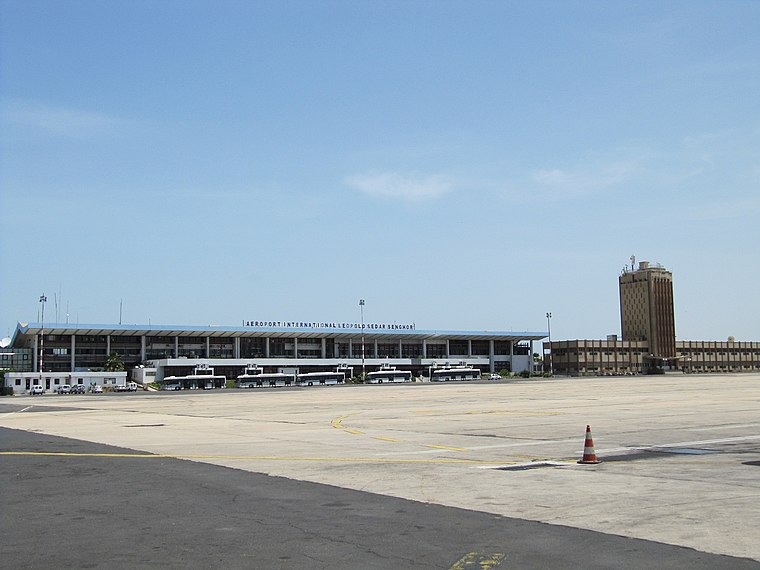
Photo: Popo le Chien, Public domain.
Léopold Sédar Senghor International Airport is an international freight and former passenger airport serving Dakar, the capital of Senegal. The airport is situated near the town of Yoff, a northern suburb of Dakar.
Stade Léopold Sédar Senghor
Stadium

Photo: Jeff Attaway, CC BY 2.0.
Léopold Sédar Senghor Stadium, formerly the Stade de l'Amitie, is a multi-purpose stadium in Dakar, Senegal.It is currently used mostly for football matches. Stade Léopold Sédar Senghor is situated 2 km east of N’gnegnal Fouta Coiffure.
Village des Arts de Dakar
Arts center

Photo: Ji-Elle, Public domain.
Village des Arts de Dakar is an arts center, which is situated 1½ km east of N’gnegnal Fouta Coiffure.
Places in the Area
Nearby places include Yoff and Sicap-Liberté.
Yoff
Neighborhood

Photo: Arensond, Public domain.
Yoff is a town, part of the city of Dakar, located in Senegal. It lies north of downtown Dakar and immediately north of Léopold Sédar Senghor International Airport.
Sicap-Liberté
Suburb

Photo: Abiwole, CC BY-SA 4.0.
Sicap-Liberté is a commune d'arrondissement of the city of Dakar, Senegal. As of 2013 it had a population of 47,164. Sicap-Liberté is situated 3 km south of N’gnegnal Fouta Coiffure.
Parcelles Assainies
Suburb
 Parcelles Assainies is a commune d'arrondissement of the city of Dakar, Senegal. As of 2013 it had a population of 159,498. Parcelles Assainies is situated 3½ km east of N’gnegnal Fouta Coiffure.
N’gnegnal Fouta Coiffure
- Type: Hairdresser
- Category: shop
- Location: Dakar, Senegal, West Africa, Africa
- View on OpenStreetMap
Latitude
14.75044° or 14° 45′ 2″ northLongitude
-17.47111° or 17° 28′ 16″ westOpen location code
7C64QG2H+5HOpenStreetMap ID
node 4808228376OpenStreetMap feature
shop=hairdresser
This page is based on OpenStreetMap, Wikidata, and Wikimedia Commons.
We’d love your help improving our open data sources. Thank you for contributing.
Satellite Map
Discover N’gnegnal Fouta Coiffure from above in high-definition satellite imagery.
Notable Places Nearby
Highlights include IPROSI and Université de Gestion.
Nearby Places
Explore places such as Grouoe Touba Pressing and Restaurant Cheikhal Islam.
Senegal: Must-Visit Destinations
Delve into Dakar, Saint-Louis, Niokolo-Koba, and Ziguinchor.
Curious Hairdressers to Discover
Uncover intriguing hairdressers from every corner of the globe.
About Mapcarta. Data © OpenStreetMap contributors and available under the Open Database License". Text is available under the CC BY-SA 4.0 license, except for photos, directions, and the map. Photo: Wikimedia, CC0.