Százhalombattai Rendőrőrs
Százhalombattai Rendőrőrs is a police station in Pest County, Central Hungary which is located on Damjanich utca. Százhalombattai Rendőrőrs is situated nearby to the park Rubik kocka, as well as near Saint Stephen of Hungary Church in Százhalombatta.| Tap on a place to explore it |
Places of Interest Nearby
Highlights include Saint Stephen of Hungary Church in Százhalombatta and Százhalombatta railway station.
Saint Stephen of Hungary Church in Százhalombatta
Church

Photo: Wikimedia, CC BY-SA 3.0.
Saint Stephen of Hungary Church in Százhalombatta is situated 200 metres southeast of Százhalombattai Rendőrőrs.
Százhalombatta railway station
Railway station

Photo: Globetrotter19, CC BY-SA 3.0.
Százhalombatta railway station is situated 670 metres northwest of Százhalombattai Rendőrőrs.
Dunamenti Power Plant
Power station

Photo: DorysTS, CC BY-SA 4.0.
Dunamenti Power Plant is a power station, which is situated 1¼ km northeast of Százhalombattai Rendőrőrs.
Places in the Area
Nearby places include Százhalombatta and Érd.
Százhalombatta

Photo: Globetrotter19, CC BY-SA 3.0.
Százhalombatta is a town of 18,000 people in Pest County. It is 27 km southwest of Budapest, on the west bank of the Danube, in the "corner of Mezőföld".
Érd
Photo: Elekes Andor, CC BY-SA 4.0.
Érd is a suburb just southwest of Budapest in Pest County. It has the largest population in Pest County with about 67,000 inhabitants.
Szigethalom
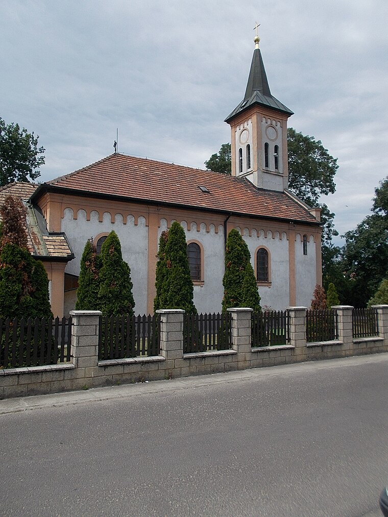
Photo: Globetrotter19, CC BY-SA 3.0.
Szigethalom is a town in Pest county, Hungary. In reference to the 2022 census, the population of the town was at 17,644, with the female being at 9,060 while the male were at 8,584.
Százhalombattai Rendőrőrs
- Type: Police station
- Address: Damjanich utca 21, Százhalombatta, 2440
- Location: Pest County, Central Hungary, Hungary, Central Europe, Europe
- View on OpenStreetMap
Latitude
47.31888° or 47° 19′ 8″ northLongitude
18.90635° or 18° 54′ 23″ eastOpen location code
8FVW8W94+HGOpenStreetMap ID
node 4825083742OpenStreetMap feature
amenity=police
This page is based on OpenStreetMap, Wikidata, and Wikimedia Commons.
We’d love your help improving our open data sources. Thank you for contributing.
Satellite Map
Discover Százhalombattai Rendőrőrs from above in high-definition satellite imagery.
Notable Places Nearby
Highlights include Rubik kocka and Speedfitness.
Nearby Places
Explore places such as MAVIT Building and Black Angel.
Pest County: Must-Visit Destinations
Delve into Érd, Cegléd, Gödöllő, and Budaörs.
Curious Police Stations to Discover
Uncover intriguing police stations from every corner of the globe.
About Mapcarta. Data © OpenStreetMap contributors and available under the Open Database License". Text is available under the CC BY-SA 4.0 license, except for photos, directions, and the map. Photo: ucsendre, CC BY-SA 3.0.