Zeltplatz Königsee
Zeltplatz Königsee is a campsite in Kemberg, Wittenberg, Saxony-Anhalt which is located on Mark Nauendorf. Zeltplatz Königsee is situated nearby to the lake Fuchssee, as well as near Langer See.| Tap on a place to explore it |
Places of Interest Nearby
Highlights include Protestant church Radis.
Protestant church Radis
Church
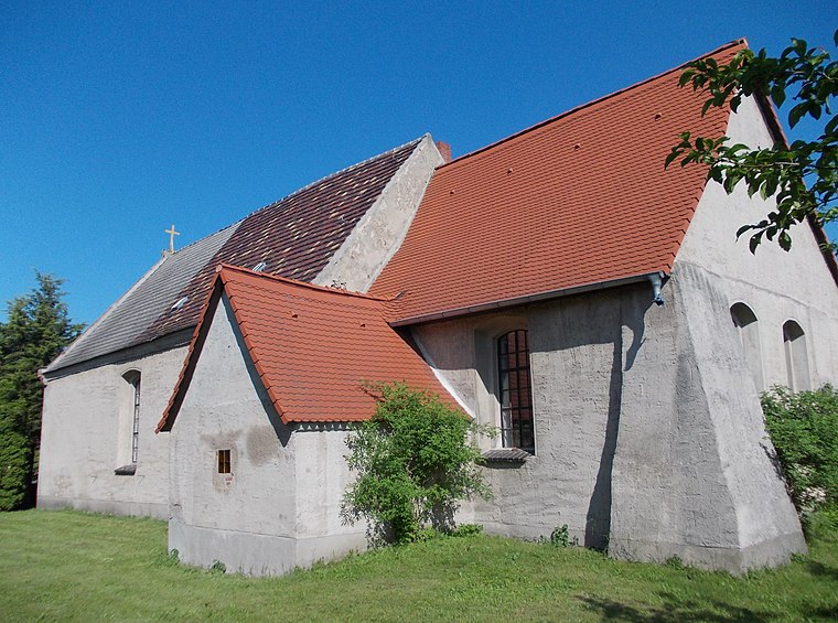
Photo: Jwaller, CC BY-SA 3.0.
Protestant church Radis is situated 3½ km west of Zeltplatz Königsee.
Places in the Area
Nearby places include Gommlo and Hohenlubast.

Hohenlubast
Village

Photo: Empiriokritizismus, CC BY-SA 4.0.
Hohenlubast is a village, which is situated 7 km southwest of Zeltplatz Königsee.
Selbitz
Village

Photo: Wolkenkratzer, CC BY-SA 4.0.
Selbitz is a village and a former municipality in Wittenberg district in Saxony-Anhalt, Germany. Since 1 January 2010, it is part of the town Kemberg. Selbitz is situated 8 km north of Zeltplatz Königsee.
Zeltplatz Königsee
- Type: Campsite
- Address: Mark Nauendorf, Kemberg, 06901
- Categories: tourism and camping
- Location: Kemberg, Wittenberg, Saxony-Anhalt, Germany, Central Europe, Europe
- View on OpenStreetMap
Latitude
51.75251° or 51° 45′ 9″ northLongitude
12.56924° or 12° 34′ 9″ eastOpen location code
9F3JQH39+2MOpenStreetMap ID
node 485778300OpenStreetMap feature
tourism=camp_site
This page is based on OpenStreetMap, Wikidata, and Wikimedia Commons.
We’d love your help improving our open data sources. Thank you for contributing.
Satellite Map
Discover Zeltplatz Königsee from above in high-definition satellite imagery.
Notable Places Nearby
Highlights include Fuchssee and Langer See.
Nearby Places
Explore places such as Froschsee and Königsee.
Saxony-Anhalt: Must-Visit Destinations
Delve into Magdeburg, Halle, Wittenberg, and Quedlinburg.
Curious Campsites to Discover
Uncover intriguing campsites from every corner of the globe.
About Mapcarta. Data © OpenStreetMap contributors and available under the Open Database License". Text is available under the CC BY-SA 4.0 license, except for photos, directions, and the map. Photo: GMM, Public domain.