Laubiweg
Laubiweg is a tram stop in Zurich, Canton of Zurich. Laubiweg is situated nearby to the fountain Seepferdchenbrunnen, as well as near the sports venue Sport-/Turnhalle Milchbuck B.| Tap on a place to explore it |
Places of Interest Nearby
Highlights include Seepferdchenbrunnen and Zürich Wipkingen railway station.

Zürich Wipkingen railway station
Railway station

Photo: Ikiwaner, CC BY-SA 3.0.
Zürich Wipkingen railway station is a railway station in the Wipkingen quarter of the Swiss city of Zurich, within fare zone 110 of the Zürcher Verkehrsverbund. Zürich Wipkingen railway station is situated 580 metres west of Laubiweg.
Zurich Main Station
Railway station

Photo: Ikiwaner, CC BY-SA 3.0.
Zürich Hauptbahnhof, often shortened to Zürich HB or just HB, and known in English as Zurich Main Station, is the largest railway station in Switzerland and one of the busiest in Europe. Zurich Main Station is situated 2 km south of Laubiweg.
Places in the Area
Nearby places include Unterstrass and Wipkingen.
Unterstrass
Suburb
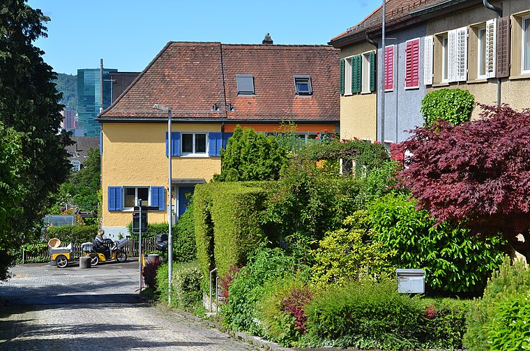
Photo: Roland zh, CC BY-SA 3.0.
Unterstrass is a quarter in the district 6 in Zurich. It was formerly a municipality of its own, having been incorporated into Zurich in 1893. The quarter has a population of 19,921, in an area of 2.46 km2.
Wipkingen
Suburb
Wipkingen is a quarter in the district 10 in Zürich. It was formerly a municipality of its own, having been incorporated into Zürich in 1893. The quarter has a population of 15,446 distributed on an area of 2.11 km².
Oberstrass
Suburb
Oberstrass is a quarter in the district 6 in Zurich. It was formerly a municipality of its own, having been incorporated into Zurich in 1893. The quarter has a population of 9,494 distributed on an area of 2.64 km2.
Laubiweg
- Type: Tram stop
- Wheelchair access: limited
- Categories: railway stop, transport stop, and transportation
- Location: Zurich, Zürich District, Canton of Zurich, Zurich, Switzerland, Central Europe, Europe
- View on OpenStreetMap
Latitude
47.39484° or 47° 23′ 41″ northLongitude
8.53649° or 8° 32′ 11″ eastElevation
470 metres (1,542 feet)Operator
VBZNetwork
ZVVOpen location code
8FVC9GVP+WHOpenStreetMap ID
node 4880303440OpenStreetMap feature
public_transport=stop_positionOpenStreetMap feature
railway=tram_stopOpenStreetMap attribute
wheelchair=limited
This page is based on OpenStreetMap, Wikidata, and Wikimedia Commons.
We’d love your help improving our open data sources. Thank you for contributing.
Satellite Map
Discover Laubiweg from above in high-definition satellite imagery.
Places with the Same Name
Discover other places named “Laubiweg”.
Notable Places Nearby
Highlights include Sport-/Turnhalle Milchbuck B and Sport-/Turnhalle Milchbuck A.
Nearby Places
Explore places such as NEFF and Baugenossenschaft Vrenelisgärtli.
Zurich: Must-Visit Destinations
Delve into Winterthur, Aarau, Zug, and Zurich Airport.
Curious Tram Stops to Discover
Uncover intriguing tram stops from every corner of the globe.
About Mapcarta. Data © OpenStreetMap contributors and available under the Open Database License". Text is available under the CC BY-SA 4.0 license, except for photos, directions, and the map. Photo: ויקיג’אנקי, CC BY-SA 4.0.