Els Cantons Rois
Els Cantons Rois is a peak in Sarroca de Bellera, Lleida, Catalonia and has an elevation of 2,286 metres. Els Cantons Rois is situated nearby to the locality Pala de Llena, as well as near les Fonts de Cell Negre.| Tap on a place to explore it |
Places of Interest
Highlights include Pic de Llena and Collada de les Pales.

Collada de les Pales
Mountain saddle

Photo: Wikimedia, CC BY-SA 3.0.
Collada de les Pales is a mountain saddle.

Places in the Area
Nearby places include La Torre de Cabdella and Benés.
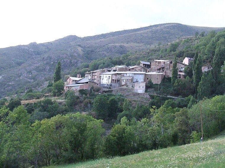
La Torre de Cabdella
Village

Photo: Wikimedia, Public domain.
La Torre de Cabdella or La Torre de Capdella is a village in the province of Lleida and autonomous community of Catalonia, Spain. It has a population of 785.

Els Cantons Rois
- Type: Peak with an elevation of 2,286 metres
- Description: mountain in Spain
- Categories: mountain and landform
- Location: Sarroca de Bellera, Lleida, Catalonia, Eastern Spain, Spain, Iberia, Europe
- View on OpenStreetMap
Latitude
42.4353° or 42° 26′ 7″ northLongitude
0.9074° or 0° 54′ 27″ eastElevation
2,286 metres (7,500 feet)Open location code
8FJ2CWP4+4XOpenStreetMap ID
node 4880334586OpenStreetMap feature
natural=peakWikidata ID
Q11918934
This page is based on OpenStreetMap, Wikidata, and Wikimedia Commons.
We’d love your help improving our open data sources. Thank you for contributing.
Satellite Map
Discover Els Cantons Rois from above in high-definition satellite imagery.
In Other Languages
From Catalan to Ladin—“Els Cantons Rois” goes by many names.
- Catalan: “els Cantons Rois”
- Catalan: “Els Cantons Rois”
- Dutch: “Els Cantons Rois”
- Ladin: “Els Cantons Rois”
Localities in the Area
Explore places such as Pala de Llena and les Fonts de Cell Negre.
Notable Places Nearby
Highlights include Collada Gran and Cap del Pouet.
Lleida: Must-Visit Destinations
Delve into Lleida, Val d’Aran, La Seu d’Urgell, and Aigüestortes i Estany de Sant Maurici National Park.
Curious Peaks to Discover
Uncover intriguing peaks from every corner of the globe.
About Mapcarta. Data © OpenStreetMap contributors and available under the Open Database License". Text is available under the CC BY-SA 4.0 license, except for photos, directions, and the map. Photo: Wikimedia, CC0.