Nachbarschaftshilfe Alling e.V.
Nachbarschaftshilfe Alling e.V. is a social service facility in Alling, Fürstenfeldbruck, Bavaria which is located on Gilchinger Straße. Nachbarschaftshilfe Alling e.V. is situated nearby to the fire station Freiwillige Feuerwehr Alling, as well as near the church Pfarrkirche Mariä Geburt (Alling).| Tap on a place to explore it |
- Email: nbh-alling@gmx.de
- Type: Social service facility
- Address: Gilchinger Straße 3
Places of Interest Nearby
Highlights include Pfarrkirche Mariä Geburt (Alling) and Holzkirchen, ehemaliges Hofmarkschloss.
Pfarrkirche Mariä Geburt (Alling)
Church

Photo: GFreihalter, CC BY-SA 3.0.
Pfarrkirche Mariä Geburt (Alling) is a church, which is situated 170 metres northwest of Nachbarschaftshilfe Alling e.V..
Holzkirchen, ehemaliges Hofmarkschloss
Historic building
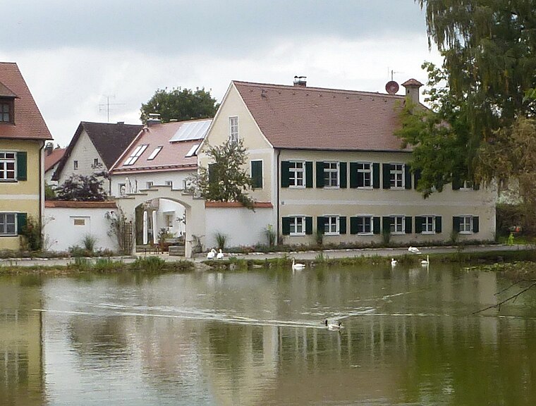
Photo: K.Baas, CC BY-SA 3.0 de.
Holzkirchen, ehemaliges Hofmarkschloss is a historic building, which is situated 1 km southeast of Nachbarschaftshilfe Alling e.V..
St. Peter und Paul
Church

Photo: K.Baas, CC BY-SA 3.0 de.
St. Peter und Paul is a church, which is situated 1 km southeast of Nachbarschaftshilfe Alling e.V..
Places in the Area
Nearby places include Holzkirchen (Alling) and Germannsberg (Alling).

Germannsberg (Alling)
Hamlet

Photo: Roland, CC BY 3.0 de.
Germannsberg (Alling) is a hamlet, which is situated 2½ km west of Nachbarschaftshilfe Alling e.V..
Gilching
Town

Photo: Wikimedia, CC BY-SA 3.0.
Gilching is a municipality in the district of Starnberg, in Bavaria, Germany. It is situated 13 km north of Starnberg, and 22 km west of Munich. The quarters Argelsried, Neugilching and Geisenbrunn belong to the municipality of Gilching. Gilching is situated 3 km south of Nachbarschaftshilfe Alling e.V..
Nachbarschaftshilfe Alling e.V.
- Location: Alling, Fürstenfeldbruck, Upper Bavaria, Bavaria, Germany, Central Europe, Europe
- View on OpenStreetMap
Latitude
48.14016° or 48° 8′ 25″ northLongitude
11.29912° or 11° 17′ 57″ eastOpen location code
8FWH47RX+3JOpenStreetMap ID
node 4893934027OpenStreetMap feature
amenity=social_facility
This page is based on OpenStreetMap, Wikidata, and Wikimedia Commons.
We’d love your help improving our open data sources. Thank you for contributing.
Satellite Map
Discover Nachbarschaftshilfe Alling e.V. from above in high-definition satellite imagery.
Notable Places Nearby
Highlights include Bürgerhaus and Freiwillige Feuerwehr Alling.
Nearby Places
Explore places such as Hairmax and INCO Industrial Computer GmbH.
Upper Bavaria: Must-Visit Destinations
Delve into Munich, Ingolstadt, Rosenheim, and Dachau.
Curious Social Service Facilities to Discover
Uncover intriguing social service facilities from every corner of the globe.
About Mapcarta. Data © OpenStreetMap contributors and available under the Open Database License". Text is available under the CC BY-SA 4.0 license, except for photos, directions, and the map. Photo: Aconcagua, CC BY-SA 3.0.