Freiwillige Feuerwehr Schneeren
Freiwillige Feuerwehr Schneeren is a fire station in Neustadt am Rübenberge, Hanover Region, Lower Saxony. Freiwillige Feuerwehr Schneeren is situated nearby to the sports venue Sporthalle Waldschule, as well as near the meadow Festplatz.| Tap on a place to explore it |
Places of Interest Nearby
Highlights include Kirche Zum Guten Hirten.
Kirche Zum Guten Hirten
Church

Photo: Losch, CC BY-SA 3.0.
Kirche Zum Guten Hirten is a church, which is situated 410 metres east of Freiwillige Feuerwehr Schneeren.
Places in the Area
Nearby places include Schneeren and Eilvese.

Eilvese
Village
Eilvese is a borough of Neustadt am Rübenberge in the district of Hanover, Lower Saxony in Germany. It had a population of 1626 in 2021. Eilvese is situated 6 km east of Freiwillige Feuerwehr Schneeren.
Husum
Village
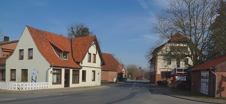
Photo: flamenc, CC BY-SA 3.0.
Husum is a municipality in the district of Nienburg, in Lower Saxony, Germany. Husum is situated 6 km northwest of Freiwillige Feuerwehr Schneeren.
Freiwillige Feuerwehr Schneeren
- Type: Fire station
- Location: Neustadt am Rübenberge, Hanover Region, Lower Saxony, Germany, Central Europe, Europe
- View on OpenStreetMap
Latitude
52.53178° or 52° 31′ 54″ northLongitude
9.32823° or 9° 19′ 42″ eastOpen location code
9F4FG8JH+P7OpenStreetMap ID
node 491482129OpenStreetMap feature
amenity=fire_station
This page is based on OpenStreetMap, Wikidata, and Wikimedia Commons.
We’d love your help improving our open data sources. Thank you for contributing.
Satellite Map
Discover Freiwillige Feuerwehr Schneeren from above in high-definition satellite imagery.
Notable Places Nearby
Highlights include Festplatz and Sporthalle Waldschule.
Nearby Places
Explore places such as Queemoor and Schneeren/Waldstraße.
Hanover Region: Must-Visit Destinations
Delve into Hanover, Hildesheim, Nienburg, and Verden an der Aller.
Curious Fire Stations to Discover
Uncover intriguing fire stations from every corner of the globe.
About Mapcarta. Data © OpenStreetMap contributors and available under the Open Database License". Text is available under the CC BY-SA 4.0 license, except for photos, directions, and the map. Photo: Ukko.de, CC BY-SA 3.0.