Teule
Teule is a neighborhood in Comberouger, Arrondissement of Montauban, Occitanie. Teule is situated nearby to the hamlet Saint-Salvy, as well as near the neighborhood Liarolles.| Tap on a place to explore it |
Places of Interest
Highlights include Église Saint-Barthélemy de Comberouger and Église Notre-Dame de Bouillac.
Église Saint-Barthélemy de Comberouger
Church
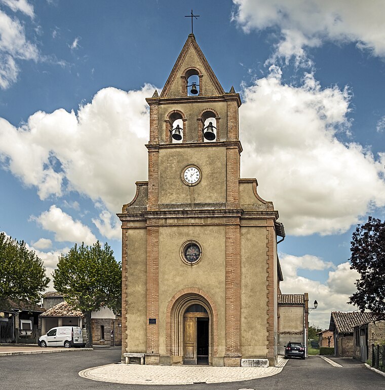
Photo: Archaeodontosaurus, CC BY-SA 4.0.
Église Saint-Barthélemy de Comberouger is a church.
Église Notre-Dame de Bouillac
Church

Photo: Tornade, CC BY-SA 3.0.
Église Notre-Dame de Bouillac is a church, which is situated 3 km southeast of Teule.
Places in the Area
Nearby places include Mas-Grenier.
Mas-Grenier
Village

Photo: Wikimedia, Public domain.
Mas-Grenier is a commune in the Tarn-et-Garonne department in the Occitanie region in southern France. Mas-Grenier is situated 10 km northeast of Teule.
Teule
- Type: Neighborhood
- Category: locality
- Location: Comberouger, Arrondissement of Montauban, Tarn-et-Garonne, Occitanie, France, Europe
- View on OpenStreetMap
Latitude
43.85455° or 43° 51′ 16″ northLongitude
1.08606° or 1° 5′ 10″ eastOpen location code
8FM3V33P+RCOpenStreetMap ID
node 4928429009OpenStreetMap feature
place=neighbourhood
This page is based on OpenStreetMap, Wikidata, and Wikimedia Commons.
We’d love your help improving our open data sources. Thank you for contributing.
Satellite Map
Discover Teule from above in high-definition satellite imagery.
Places with the Same Name
Discover other places named “Teule”.
Localities in the Area
Explore places such as Liarolles and Saint-Salvy.
Notable Places Nearby
Highlights include Église Saint-Salvy de Saint-Salvy and Église Saint-Salvius du Château.
Tarn-et-Garonne: Must-Visit Destinations
Delve into Moissac and Saint-Antonin-Noble-Val.
Curious Neighborhoods to Discover
Uncover intriguing neighborhoods from every corner of the globe.
About Mapcarta. Data © OpenStreetMap contributors and available under the Open Database License". Text is available under the CC BY-SA 4.0 license, except for photos, directions, and the map. Photo: Inkey, CC BY-SA 3.0.