Holz Wolfram
Holz Wolfram is a sawmill in Pressath, Neustadt an der Waldnaab, Bavaria. Holz Wolfram is situated nearby to the railway station Bahnhof Pressath, as well as near Kiesibeach.| Tap on a place to explore it |
Places of Interest Nearby
Highlights include St. Georg and Castle Weihersberg.
St. Georg
Church

Photo: A. Köppl, CC BY-SA 4.0.
St. Georg is a church, which is situated 1 km northwest of Holz Wolfram.
Castle Weihersberg
Castle

Photo: A. Köppl, CC BY-SA 4.0.
Castle Weihersberg is situated 3 km north of Holz Wolfram.
Franz-von-Paula-Kapelle
Church

Photo: A. Köppl, CC BY-SA 4.0.
Franz-von-Paula-Kapelle is a church, which is situated 3 km northwest of Holz Wolfram.
Places in the Area
Nearby places include Weihersberg and Zessau.
Weihersberg
Village
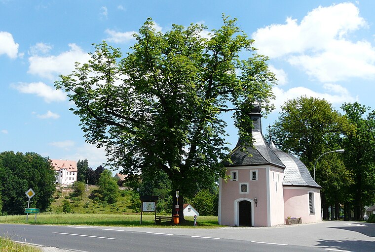
Photo: ME.Z, CC BY-SA 3.0.
Weihersberg is a village, which is situated 3 km north of Holz Wolfram.
Zessau
Village

Photo: ME.Z, CC BY-SA 4.0.
Zessau is a village, which is situated 4 km north of Holz Wolfram.
Grafenwöhr
 Grafenwöhr is a town in the district of Neustadt an der Waldnaab, in the region of the Upper Palatinate in eastern Bavaria, Germany. It is widely known for the United States Army military installation and training area, called Grafenwoehr Training Area, located directly south and west of the town.
Holz Wolfram
- Type: Sawmill
- Categories: workshop and industry
- Location: Pressath, Neustadt an der Waldnaab, Upper Palatinate, Bavaria, Germany, Central Europe, Europe
- View on OpenStreetMap
Latitude
49.76133° or 49° 45′ 41″ northLongitude
11.94185° or 11° 56′ 31″ eastOpen location code
8FXHQW6R+GPOpenStreetMap ID
node 4928875967OpenStreetMap feature
craft=sawmill
This page is based on OpenStreetMap, Wikidata, and Wikimedia Commons.
We’d love your help improving our open data sources. Thank you for contributing.
Satellite Map
Discover Holz Wolfram from above in high-definition satellite imagery.
Notable Places Nearby
Highlights include Pressath and Bahnhof Pressath.
Nearby Places
Explore places such as Georg Baier GmbH - Pilze . Beeren . Fruchtzubereitungen and Pravida Bau GmbH.
Upper Palatinate: Must-Visit Destinations
Delve into Regensburg, Amberg, Cham, and Schwandorf.
Curious Sawmills to Discover
Uncover intriguing sawmills from every corner of the globe.
About Mapcarta. Data © OpenStreetMap contributors and available under the Open Database License". Text is available under the CC BY-SA 4.0 license, except for photos, directions, and the map. Photo: Wikimedia, CC0.