Biomeier
Biomeier is a farm shop in Full-Reuenthal, Zurzach District, Canton of Aargau which is located on Hauptstrasse-Jüppen. Biomeier is situated nearby to the archaeological site Warte Jüppen, as well as near the government office Landratsamt Waldshut, Vermessungsamt.| Tap on a place to explore it |
- Opening hours:
Monday: 1:00 PM—6:00 PM
Friday: 4:00 PM—7:00 PM - Email: biomeier@bluewin.ch
- Type: Farm shop
- Address: Hauptstrasse-Jüppen 103, Full-Reuenthal, 5324
Places of Interest Nearby
Highlights include Waldshut station and Hochrhein-Gymnasium Waldshut.
Waldshut station
Railway station

Photo: Chongkian, CC BY-SA 4.0.
Waldshut station is a railway station in the city of Waldshut-Tiengen in the German state of Baden-Württemberg. Waldshut station is situated 450 metres northeast of Biomeier.
Hochrhein-Gymnasium Waldshut
School

Photo: Jor rud, Public domain.
Hochrhein-Gymnasium Waldshut is a school, which is situated 1 km north of Biomeier.
Fort Reuenthal
Museum

Photo: Bunkerfunker, CC BY-SA 3.0.
Fort Reuenthal is a 20th-century Swiss fortification located in the Aargau canton near the Swiss border with Germany. Built between 1937 and 1939, the fort overlooks the Rhine where it bends around the town of Full-Reuenthal, and was intended to prevent a crossing of the Rhine at the hydroelectric plant at Dogern. Fort Reuenthal is situated 2 km southwest of Biomeier.
Places in the Area
Nearby places include Waldshut and Koblenz.

Koblenz
Village

Photo: Badener, CC BY-SA 3.0.
Koblenz is a town and municipality in the district of Zurzach in the canton of Aargau in Switzerland.
Gippingen
Village
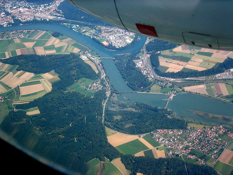
Photo: Gürkan Sengün, CC BY-SA 3.0.
Gippingen is a village, which is situated 3½ km south of Biomeier.
Biomeier
- Categories: shop and food
- Location: Full-Reuenthal, Zurzach District, Canton of Aargau, Switzerland, Central Europe, Europe
- View on OpenStreetMap
Latitude
47.61768° or 47° 37′ 4″ northLongitude
8.21667° or 8° 13′ eastOperator
Hans Peter Meier und Simone EfratOpen location code
8FVCJ698+3MOpenStreetMap ID
node 4960541439OpenStreetMap feature
shop=farm
This page is based on OpenStreetMap, Wikidata, and Wikimedia Commons.
We’d love your help improving our open data sources. Thank you for contributing.
Satellite Map
Discover Biomeier from above in high-definition satellite imagery.
Notable Places Nearby
Highlights include Warte Jüppen and Landratsamt Waldshut, Vermessungsamt.
Nearby Places
Explore places such as Full Fähre and Stage-Conzept.
Switzerland: Must-Visit Destinations
Delve into Zurich, Berne, Geneva, and Basel.
Curious Farm Shops to Discover
Uncover intriguing farm shops from every corner of the globe.
About Mapcarta. Data © OpenStreetMap contributors and available under the Open Database License". Text is available under the CC BY-SA 4.0 license, except for photos, directions, and the map. Photo: Simonizer, CC BY-SA 2.0 de.