Kuppe (438,2)
Kuppe (438,2) is a peak in Milda, Saale-Holzland-Kreis, Thuringia and has an elevation of 438 metres. Kuppe (438,2) is situated nearby to the village Dürrengleina, as well as near Schirnewitz.| Tap on a place to explore it |
Places of Interest
Highlights include Dorfkirche Dürrengleina and St. Nikolaus.


Places in the Area
Nearby places include Neulobeda and Bucha.
Neulobeda
Suburb
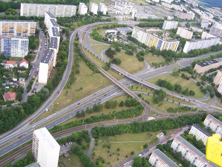
Photo: Hamster3, CC BY-SA 2.5.
Neulobeda is the largest district of the Thuringian university town Jena with over 22,000 residents. The residents are distributed over an area of 3.6 km2.

Altenberga
Village

Photo: Wikswat, CC BY-SA 3.0.
Altenberga is a municipality in the district Saale-Holzland, in Thuringia, Germany.
Kuppe (438,2)
- Type: Peak with an elevation of 438 metres
- Category: landform
- Location: Milda, Saale-Holzland-Kreis, Thuringia, Germany, Central Europe, Europe
- View on OpenStreetMap
Latitude
50.8569° or 50° 51′ 25″ northLongitude
11.5476° or 11° 32′ 51″ eastElevation
438 metres (1,437 feet)Open location code
9F2HVG4X+Q2OpenStreetMap ID
node 4970034043OpenStreetMap feature
natural=peak
This page is based on OpenStreetMap, Wikidata, and Wikimedia Commons.
We’d love your help improving our open data sources. Thank you for contributing.
Satellite Map
Discover Kuppe (438,2) from above in high-definition satellite imagery.
Localities in the Area
Explore places such as Dürrengleina and Schirnewitz.
Notable Places Nearby
Highlights include Freiwillige Feuerwehr Dürrengleina and Saatberge.
Curious Peaks to Discover
Uncover intriguing peaks from every corner of the globe.
About Mapcarta. Data © OpenStreetMap contributors and available under the Open Database License". Text is available under the CC BY-SA 4.0 license, except for photos, directions, and the map. Photo: Taxiarchos228, FAL.