Abarrotes Vallecito
Abarrotes Vallecito is a supermarket in Cuzco Department, Peru. Abarrotes Vallecito is situated nearby to the government office Senasa Perú, as well as near La 58.| Tap on a place to explore it |
Places of Interest Nearby
Highlights include Yanacocha.
Yanacocha
Lake
Yanacocha is a lake in Peru located in Huaylllabamba District, Urubamba Province, Cusco Region. It is about 14 m deep and 240 m long and it is situated at a height of about 3,951 metres. Yanacocha is situated 4 km northwest of Abarrotes Vallecito.
Places in the Area
Nearby places include Huayllabamba and Yucay.
Huayllabamba
Village

Photo: Gerd Breitenbach, CC BY-SA 3.0.
Huayllabamba is a town in Southern Peru, in the province Urubamba in the Cusco region. The town is capital of Huayllabamba District. It is located in what is known as the Sacred valley of the Incas. Huayllabamba is situated 5 km southwest of Abarrotes Vallecito.
Yucay

Photo: Ynsalh, CC BY-SA 4.0.
Yucay is a village in Peru. The town is in a scenic valley and has many farming families. There is nothing to see or do in this town, but it can be a convenient base to make various short trips from.
Calca
Town
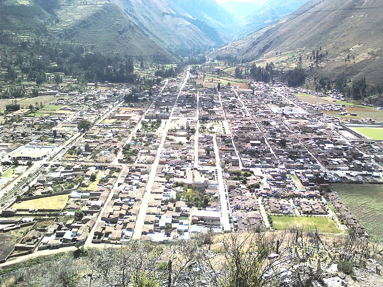
Photo: Miguel taipe, CC BY-SA 4.0.
Calca, also referred to as Villa de Zamora, is a town in southern Peru, capital of Calca Province in Cusco Region. It is at an elevation of around 2926 meters above sea level. Calca is situated 8 km east of Abarrotes Vallecito.
Abarrotes Vallecito
- Type: Supermarket
- Categories: shop and food
- Location: Cuzco Department, Peru, South America
- View on OpenStreetMap
Latitude
-13.31088° or 13° 18′ 39″ southLongitude
-72.026° or 72° 1′ 34″ westOpen location code
57R9MXQF+JJOpenStreetMap ID
node 4977344423OpenStreetMap feature
shop=supermarket
This page is based on OpenStreetMap, Wikidata, and Wikimedia Commons.
We’d love your help improving our open data sources. Thank you for contributing.
Satellite Map
Discover Abarrotes Vallecito from above in high-definition satellite imagery.
In Other Languages
“Abarrotes Vallecito” goes by many names.
- Spanish: “Abarrotes Vallecito”
Notable Places Nearby
Highlights include Senasa Perú and La 58.
Nearby Places
Explore places such as Sumac Chicken and Rodriguez.
Peru: Must-Visit Destinations
Delve into Lima, Machu Picchu, Cuzco, and Arequipa.
Curious Supermarkets to Discover
Uncover intriguing supermarkets from every corner of the globe.
About Mapcarta. Data © OpenStreetMap contributors and available under the Open Database License". Text is available under the CC BY-SA 4.0 license, except for photos, directions, and the map. Photo: Wikimedia, CC BY 3.0.