Vanier / Pathway
Vanier / Pathway is a bus stop in Ottawa, Ontario. Vanier / Pathway is situated nearby to Kingsview Park, as well as near the post office Canada Post.| Tap on a place to explore it |
Places of Interest Nearby
Highlights include Embassy of Turkey, Ottawa and Embassy of Romania.
Embassy of Turkey, Ottawa
Government office

Photo: SimonP, CC BY-SA 3.0.
The Embassy of the Republic of Turkey in Ottawa is Turkey's diplomatic mission to Canada. It is housed in a sprawling Tudor style manor located at 197 Wurtemberg Street overlooking the Rideau River. Embassy of Turkey, Ottawa is situated 310 metres south of Vanier / Pathway.
Embassy of Romania
Government office
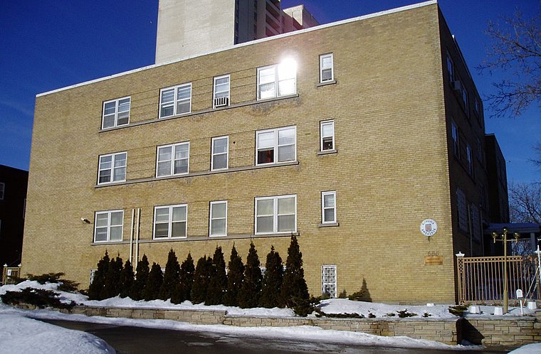
Photo: SimonP, CC BY-SA 3.0.
Canada and Romania have maintained bilateral relations since 1967. The two countries are members of OSCE, La Francophonie and NATO. Canada has an embassy in Bucharest, and Romania has an embassy in Ottawa and three consulates-general. Embassy of Romania is situated 410 metres south of Vanier / Pathway.
Embassy of Poland, Ottawa
Government office

Photo: SimonP, CC BY-SA 3.0.
Embassy of Poland, Ottawa is a government office, which is situated 610 metres south of Vanier / Pathway.
Places in the Area
Nearby places include New Edinburgh and Vanier.
New Edinburgh
Neighborhood

Photo: Paul Tavares, CC BY-SA 3.0.
New Edinburgh is a neighbourhood in Rideau-Rockcliffe Ward, in Ottawa, Ontario, Canada. It is located to the northeast of the downtown core. It is bordered on the west by the Rideau River, to the north by the Ottawa River, to the south by Beechwood Avenue, and on the east by Springfield Road and the former Rockcliffe Park village limits.
Vanier
Suburb

Photo: Taymaz Valley, CC BY 2.0.
Vanier is a neighbourhood in the Rideau-Vanier Ward of the east end of Ottawa, Ontario, Canada. Historically francophone and working class, the neighbourhood was a separate city until being amalgamated into Ottawa in 2001.
Lower Town
Suburb

Photo: Wikimedia, CC BY-SA 3.0.
Lower Town (also spelled "Lowertown" is a neighbourhood in Rideau-Vanier Ward in central Ottawa, Ontario, Canada, to the east of downtown. It is the oldest neighbourhood of the city, with construction beginning in 1826.
Vanier / Pathway
- Type: Bus stop
- Category: transportation
- Location: Ottawa, Ontario, Canada, North America
- View on OpenStreetMap
Latitude
45.43765° or 45° 26′ 16″ northLongitude
-75.67518° or 75° 40′ 31″ westOperator
OC TranspoNetwork
OC TranspoOpen location code
87Q6C8QF+3WOpenStreetMap ID
node 5049658886OpenStreetMap feature
highway=bus_stopOpenStreetMap feature
public_transport=platform
This page is based on OpenStreetMap, Wikidata, and Wikimedia Commons.
We’d love your help improving our open data sources. Thank you for contributing.
Satellite Map
Discover Vanier / Pathway from above in high-definition satellite imagery.
Notable Places Nearby
Highlights include Kingsview Park and Canada Post.
Nearby Places
Explore places such as Vanier / Pathway and Vanier / Pathway.
Ontario: Must-Visit Destinations
Delve into Toronto, Ottawa, Hamilton, and London.
Curious Bus Stops to Discover
Uncover intriguing bus stops from every corner of the globe.
About Mapcarta. Data © OpenStreetMap contributors and available under the Open Database License". Text is available under the CC BY-SA 4.0 license, except for photos, directions, and the map. Photo: Wikimedia, CC BY-SA 2.0.