Burnt pyre
Burnt pyre is a locality in Oświęcim, Małopolskie. Burnt pyre is situated nearby to the locality Effects storage ‘Kanada II’, as well as near Wykopaniska.| Tap on a place to explore it |
Places of Interest
Highlights include German Nazi Concentration and Extermination Camp Auschwitz II-Birkenau and Bath/Disinfestation facility ‘Sauna’.
German Nazi Concentration and Extermination Camp Auschwitz II-Birkenau
Museum

Photo: Wikimedia, CC BY-SA 3.0 de.
Auschwitz, also known as Oświęcim, was a complex of over 40 concentration and extermination camps operated by Nazi Germany in occupied Poland during World War II and the Holocaust.
Bath/Disinfestation facility ‘Sauna’
Historic building

Photo: Pimke, CC BY-SA 3.0.
Bath/Disinfestation facility ‘Sauna’ is a historic building.
Gas chamber/Crematorium IV
Ruins

Photo: Diether, CC BY-SA 3.0.
Gas chamber/Crematorium IV is a ruins.
Places in the Area
Nearby places include Effects storage ‘Kanada II’ and Auschwitz-Birkenau.
Effects storage ‘Kanada II’
Locality

Photo: Wikimedia, Public domain.
The Kanada warehouses, also known as Effektenlager or simply Kanada, were storage facilities in the Auschwitz concentration camp in German-occupied Poland during the Holocaust.
Auschwitz-Birkenau

Photo: Lankhorst, CC BY-SA 3.0.
Auschwitz-Birkenau is the generic name given to the cluster of concentration, labour and extermination camps established by the Nazis during the Second World War and located near the towns of Oświęcim and Brzezinka in southern Poland, some 60 km from Kraków.
Brzezinka
Village
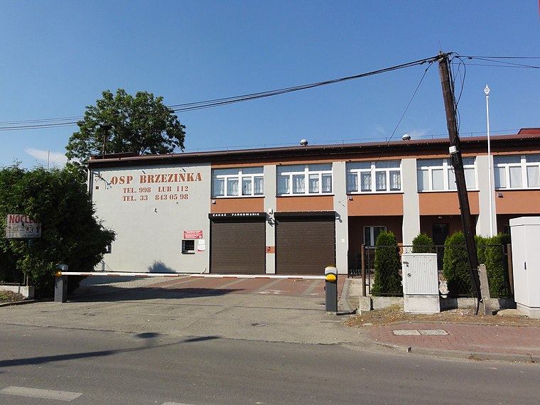
Photo: D T G, CC BY-SA 4.0.
Brzezinka is a village in southern Poland, about 3 kilometres from Oświęcim, in the district of Gmina Oświęcim, Oświęcim County, Lesser Poland Voivodeship.
Burnt pyre
- Type: Locality
- Category: historic site
- Location: Oświęcim, Oświęcim County, Małopolskie, Poland, Central Europe, Europe
- View on OpenStreetMap
Latitude
50.04298° or 50° 2′ 35″ northLongitude
19.16687° or 19° 10′ 1″ eastOpen location code
9F2X25V8+5POpenStreetMap ID
node 5058848215OpenStreetMap feature
historic=yesOpenStreetMap feature
place=locality
This page is based on OpenStreetMap, Wikidata, and Wikimedia Commons.
We’d love your help improving our open data sources. Thank you for contributing.
Satellite Map
Discover Burnt pyre from above in high-definition satellite imagery.
In Other Languages
From German to Polish—“Burnt pyre” goes by many names.
- German: “Scheiterhaufen”
- Hungarian: “Máglyahely”
- Polish: “Stos całopalny”
Localities in the Area
Explore places such as Wykopaniska and Skotnica.
Notable Places Nearby
Highlights include Gas chamber/Crematorium V and 1.
Małopolskie: Must-Visit Destinations
Delve into Kraków, Auschwitz-Birkenau, Oświęcim, and Zakopane.
Curious Localities to Discover
Uncover intriguing localities from every corner of the globe.
About Mapcarta. Data © OpenStreetMap contributors and available under the Open Database License". Text is available under the CC BY-SA 4.0 license, except for photos, directions, and the map. Photo: Sicherlich, CC BY 3.0.