aetisee
aetisee is a café in Bundang, Seongnam-si, Gyeonggi. aetisee is situated nearby to the fountain 바닥분수, as well as near Medipum Hospital.| Tap on a place to explore it |
Places of Interest Nearby
Highlights include Pangyo and Seongnam.
Pangyo
Metro station
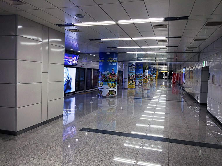
Photo: 안우석, CC BY-SA 3.0.
Pangyo Station is a station on the Shinbundang Line, serving the planned district of Pangyo in the city of Seongnam. The station is close to Pangyo Techno Valley, one of the country's largest clusters of software, gaming, entertainment and biotechnology businesses, home to major tech companies like Kakao. Pangyo is situated 370 metres southwest of aetisee.
Seongnam
Metro station

Photo: Striker9498, CC0.
Seongnam Station is a railway station on GTX-A and Gyeonggang Line of the Seoul Metropolitan Subway. It is located at Baekhyeon-dong, Bundang, Seongnam, Gyeonggi, South Korea. Seongnam is situated 630 metres southeast of aetisee.
Tancheon Stadium
Stadium

Photo: Wikimedia, Public domain.
Tancheon Sports Complex is a group of sports facilities in Seongnam, South Korea. Its name was Seongnam 2 Sports Complex but changed to Tancheon Sports Complex in January 2006, naming after Tancheon. Tancheon Stadium is situated 1½ km northeast of aetisee.
Places in the Area
Nearby places include Pangyo Techno Valley and Baekhyeon-dong.
Pangyo Techno Valley
Quarter

Photo: Imtotallykorean, CC BY-SA 4.0.
Pangyo Techno Valley is an industrial complex in the city of Pangyo, Seongnam, Gyeonggi Province, South Korea. It is also known as the Silicon Valley of Korea.
Baekhyeon-dong
Quarter
Baekhyeon-dong is a dong of Bundang district in the city of Seongnam, Gyeonggi Province, South Korea. As of January 1, 2024, the population of Baekhyeon-dong is 26,873, spanning 10,431 households.
Sampyeong-dong
Quarter
Sampyeong-dong is a dong of Bundang District in the city of Seongnam, Gyeonggi Province, South Korea. As of January 1, 2024, the population of Sampyeong-dong is 23,939, spanning 9,058 households.
aetisee
- Type: Café
- Location: Bundang, Seongnam-si, Gyeonggi, South Korea, East Asia, Asia
- View on OpenStreetMap
Latitude
37.39759° or 37° 23′ 51″ northLongitude
127.11335° or 127° 6′ 48″ eastOpen location code
8Q9994X7+28OpenStreetMap ID
node 5063606421OpenStreetMap feature
amenity=cafe
This page is based on OpenStreetMap, Wikidata, and Wikimedia Commons.
We’d love your help improving our open data sources. Thank you for contributing.
Satellite Map
Discover aetisee from above in high-definition satellite imagery.
In Other Languages
“aetisee” goes by many names.
- Korean: “아티제”
Notable Places Nearby
Highlights include 바닥분수 and Medipum Hospital.
Nearby Places
Explore places such as Olive Young and 속초코다리냉면.
Gyeonggi: Must-Visit Destinations
Delve into Seoul, Incheon, Suwon, and Ansan.
Curious Cafés to Discover
Uncover intriguing cafés from every corner of the globe.
About Mapcarta. Data © OpenStreetMap contributors and available under the Open Database License". Text is available under the CC BY-SA 4.0 license, except for photos, directions, and the map. Photo: Jfranklee, Public domain.