Na podkově
Na podkově is a peak in Babylon, Domažlice District, Plzeň Region and has an elevation of 589 metres. Na podkově is situated nearby to the village Česká Kubice, as well as near Babylon.| Tap on a place to explore it |
Places of Interest
Highlights include Babylon and Babylonský rybník.


Places in the Area
Nearby places include Česká Kubice and Babylon.
Česká Kubice
Village

Photo: Hakupes, CC BY-SA 3.0.
Česká Kubice is a municipality and village in Domažlice District in the Plzeň Region of the Czech Republic. It has about 1,000 inhabitants.
Babylon
Village

Photo: Richard Huber, CC BY-SA 4.0.
Babylon is a municipality and village in Domažlice District in the Plzeň Region of the Czech Republic. It has about 400 inhabitants. Babylon lies approximately 8 kilometres south-west of Domažlice, 55 km south-west of Plzeň, and 137 km south-west of Prague.
Pec
Village
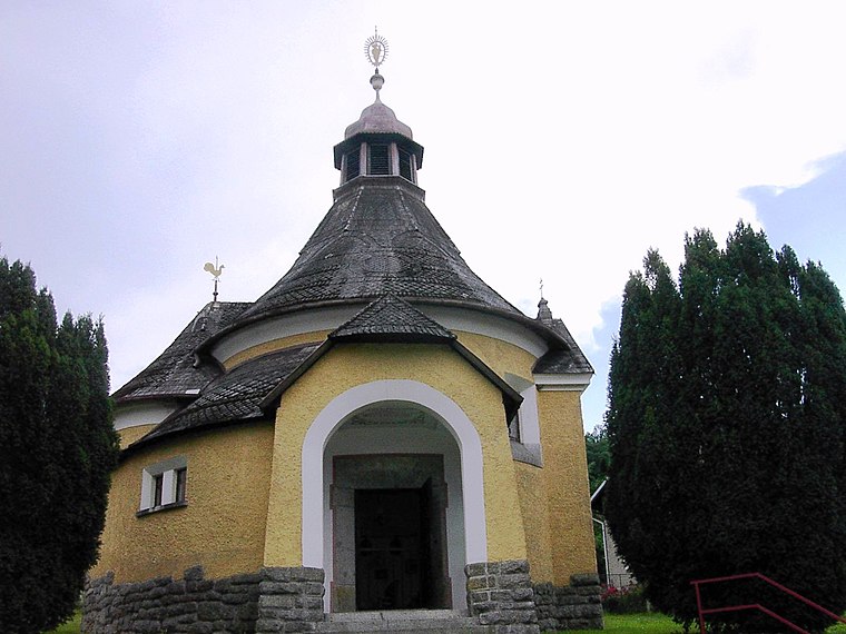
Photo: Ondrej.konicek, CC BY-SA 3.0.
Pec is a municipality and village in Domažlice District in the Plzeň Region of the Czech Republic. It has about 200 inhabitants.
Na podkově
- Type: Peak with an elevation of 589 metres
- Category: landform
- Location: Babylon, Domažlice District, Plzeň Region, Czech Republic, Central Europe, Europe
- View on OpenStreetMap
Latitude
49.3817° or 49° 22′ 54″ northLongitude
12.8461° or 12° 50′ 46″ eastElevation
589 metres (1,932 feet)Open location code
8FXJ9RJW+MFOpenStreetMap ID
node 5084532045OpenStreetMap feature
natural=peak
This page is based on OpenStreetMap, Wikidata, and Wikimedia Commons.
We’d love your help improving our open data sources. Thank you for contributing.
Satellite Map
Discover Na podkově from above in high-definition satellite imagery.
Localities in the Area
Explore places such as Na Šlejfu and Nová Kubice.
Notable Places Nearby
Highlights include Sokolova vyhlídka and V Potokách.
Czech Republic: Must-Visit Destinations
Delve into Prague, Brno, Pilsen, and Ostrava.
Curious Peaks to Discover
Uncover intriguing peaks from every corner of the globe.
About Mapcarta. Data © OpenStreetMap contributors and available under the Open Database License". Text is available under the CC BY-SA 4.0 license, except for photos, directions, and the map. Photo: john mcsporran, CC BY 2.0.