Grotte du Célary
Grotte du Célary is a cave in Jura, Bourgogne-Franche-Comté. Grotte du Célary is situated nearby to the village Lamoura, as well as near the locality Gorges de l’Abîme.| Tap on a place to explore it |
Places of Interest Nearby
Highlights include Église Saint-François-de-Sales de Lamoura and Lac de Lamoura.
Église Saint-François-de-Sales de Lamoura
Church
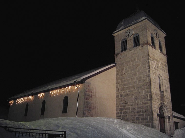
Photo: rene boulay, CC BY-SA 3.0.
Église Saint-François-de-Sales de Lamoura is a church, which is situated 2½ km southeast of Grotte du Célary.
Lac de Lamoura
Lake

Photo: Juraastro, CC BY-SA 3.0.
Lac de Lamoura is a lake at Lamoura in the Jura department of France. It is the highest lake in the Jura at an elevation of 1156 metres. Lac de Lamoura is situated 3½ km east of Grotte du Célary.
Horse Tail Falls
Waterfall

Photo: Gordjazzz, CC BY-SA 3.0.
Horse Tail Falls is a waterfall, which is situated 4 km southwest of Grotte du Célary.
Places in the Area
Nearby places include Lamoura and Gorges de l’Abîme.
Lamoura
Village
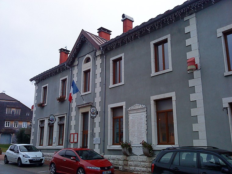
Photo: Patrub01, CC BY-SA 3.0.
Lamoura is a commune in the Jura department in Bourgogne-Franche-Comté in eastern France.
Gorges de l’Abîme
Locality

Photo: Superjuju10, CC BY-SA 3.0.
Gorges de l’Abîme is a locality, which is situated 3 km west of Grotte du Célary.
Lajoux
Village

Photo: Prankster, Public domain.
Lajoux is a commune in the Jura department in Bourgogne-Franche-Comté in eastern France. Lajoux is situated 4 km southeast of Grotte du Célary.
Grotte du Célary
- Type: Cave
- Categories: tourism, tourist attraction, and landform
- Location: Jura, Bourgogne-Franche-Comté, France, Europe
- View on OpenStreetMap
Latitude
46.40517° or 46° 24′ 19″ northLongitude
5.94055° or 5° 56′ 26″ eastOpen location code
8FR7CW4R+36OpenStreetMap ID
node 5098221275OpenStreetMap feature
natural=cave_entranceOpenStreetMap feature
tourism=attraction
This page is based on OpenStreetMap, Wikidata, and Wikimedia Commons.
We’d love your help improving our open data sources. Thank you for contributing.
Satellite Map
Discover Grotte du Célary from above in high-definition satellite imagery.
Notable Places Nearby
Highlights include Boulodrome and Musée des Lapidaires.
Nearby Places
Explore places such as Grotte du Célary and Sous Célary.
Bourgogne-Franche-Comté: Must-Visit Destinations
Delve into Nièvre, Dijon, Besançon, and Vesoul.
Curious Caves to Discover
Uncover intriguing caves from every corner of the globe.
About Mapcarta. Data © OpenStreetMap contributors and available under the Open Database License". Text is available under the CC BY-SA 4.0 license, except for photos, directions, and the map. Photo: Juraastro, CC BY-SA 3.0.