Dahrem café & plus
Dahrem café & plus is a café in Avignon, Vaucluse, Provence-Alpes-Côte d’Azur. Dahrem café & plus is situated nearby to Synagogue d’Avignon, as well as near Place Colonel Arnaud Beltrame.| Tap on a place to explore it |
Places of Interest Nearby
Highlights include Synagogue d’Avignon and Halles d’Avignon.

Halles d’Avignon
Marketplace
 Halles d’Avignon is a marketplace, which is situated 100 metres southeast of Dahrem café & plus.
Église Saint Pierre (Avignon)
Church

Photo: Chris06, CC BY-SA 4.0.
Église Saint Pierre (Avignon) is a church, which is situated 150 metres northwest of Dahrem café & plus.
Places in the Area
Nearby places include Ile Piot and Villeneuve-lès-Avignon.

Villeneuve-lès-Avignon
Town
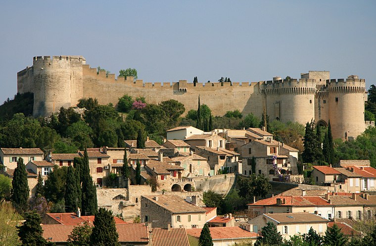
Photo: Luu, CC BY-SA 3.0.
Villeneuve-lès-Avignon is a commune in the Gard department in southern France. It can also be spelled Villeneuve-lez-Avignon.
Le Pontet
Town

Photo: Véronique PAGNIER, Public domain.
Le Pontet is a commune in the Vaucluse department in the Provence-Alpes-Côte d'Azur region in Southeastern France. Le Pontet is a suburb of the city of Avignon; it lies adjacent to its northeastern side. Le Pontet is situated 4½ km east of Dahrem café & plus.
Dahrem café & plus
- Type: Café
- Location: Avignon, Arrondissement of Avignon, Vaucluse, Provence-Alpes-Côte d’Azur, France, Europe
- View on OpenStreetMap
Latitude
43.94811° or 43° 56′ 53″ northLongitude
4.80914° or 4° 48′ 33″ eastOpen location code
8FM6WRX5+6MOpenStreetMap ID
node 5100716951OpenStreetMap feature
amenity=cafe
This page is based on OpenStreetMap, Wikidata, and Wikimedia Commons.
We’d love your help improving our open data sources. Thank you for contributing.
Satellite Map
Discover Dahrem café & plus from above in high-definition satellite imagery.
Notable Places Nearby
Highlights include Place Colonel Arnaud Beltrame and Police municipale.
Nearby Places
Explore places such as Degrenne Paris and U sushi.
Vaucluse: Must-Visit Destinations
Delve into Orange, Carpentras, Cavaillon, and Gordes.
Curious Cafés to Discover
Uncover intriguing cafés from every corner of the globe.
About Mapcarta. Data © OpenStreetMap contributors and available under the Open Database License". Text is available under the CC BY-SA 4.0 license, except for photos, directions, and the map. Photo: Brateevsky, CC BY-SA 3.0.