HiperDino Melenara
HiperDino Melenara is a supermarket in Telde, Las Palmas. HiperDino Melenara is situated nearby to the hospital Centro de Salud de Las Remudas, as well as near the fire station Consorcio de Emergencia de Gran Canaria.| Tap on a place to explore it |
- Opening hours: 8:30 AM—10:00 PM
- Type: Supermarket
- Wheelchair access: yes
Places of Interest Nearby
Highlights include Playa del Hombre and Casa-Museo León y Castillo.

Casa-Museo León y Castillo
Museum
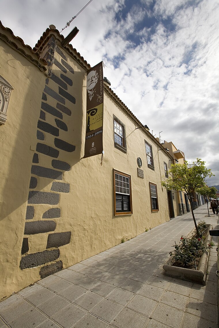
Photo: Raycojimenezg, CC BY-SA 3.0.
Casa-Museo León y Castillo is a museum, which is situated 2½ km west of HiperDino Melenara.
Punta de Melenara Lighthouse
Lighthouse

Photo: Tomás Morales Herrera, CC BY-SA 2.0.
The Punta de Melenara Lighthouse also known as the Faro de Taliarte is an active 20th century lighthouse on the Spanish island of Gran Canaria in the Canary Islands. Punta de Melenara Lighthouse is situated 3 km southeast of HiperDino Melenara.
Places in the Area
Nearby places include Eastern Gran Canaria and Tufia.
Eastern Gran Canaria
The eastern part of Gran Canaria is the economically most important part of the island. Traces of the "old Canaries" can be found here, where the oldest settlements of the Spaniards were.Tufia
Hamlet

Photo: André Hoek, CC BY-SA 3.0.
Tufia is a hamlet, which is situated 4½ km south of HiperDino Melenara.
Lomo Magullo
Suburb

Photo: DanielRiveroSuárez, CC BY-SA 3.0.
Lomo Magullo is a suburb, which is situated 7 km west of HiperDino Melenara.
HiperDino Melenara
- Categories: shop and food
- Location: Telde, Las Palmas, Canary Islands, Spain, Iberia, Europe
- View on OpenStreetMap
Latitude
28.00393° or 28° 0′ 14″ northLongitude
-15.39251° or 15° 23′ 33″ westOpen location code
7CW62J34+HXOpenStreetMap ID
node 5101472074OpenStreetMap feature
shop=supermarketOpenStreetMap attribute
wheelchair=yes
This page is based on OpenStreetMap, Wikidata, and Wikimedia Commons.
We’d love your help improving our open data sources. Thank you for contributing.
Satellite Map
Discover HiperDino Melenara from above in high-definition satellite imagery.
Notable Places Nearby
Highlights include Centro de Salud de Las Remudas and Consorcio de Emergencia de Gran Canaria.
Nearby Places
Explore places such as La Galería Cafetería and Eliben.
Canary Islands: Must-Visit Destinations
Delve into Santa Cruz de Tenerife, Las Palmas, La Palma, and La Gomera.
Curious Supermarkets to Discover
Uncover intriguing supermarkets from every corner of the globe.
About Mapcarta. Data © OpenStreetMap contributors and available under the Open Database License". Text is available under the CC BY-SA 4.0 license, except for photos, directions, and the map. Photo: Wikimedia, CC BY-SA 4.0.