Aschenbergstein
Aschenbergstein is a peak in Thuringia, Germany and has an elevation of 565 metres. Aschenbergstein is situated nearby to the locality Grenzwiese, as well as near Tanzbuche.| Tap on a place to explore it |
Places of Interest
Highlights include Großer Inselsberg and Marienglashöhle.
Großer Inselsberg
Peak

Photo: Metilsteiner, CC BY-SA 3.0.
Großer Inselsberg is a mountain in the Thuringian Forest with a height of 916.5 m above sea level, located on Rennsteig in the districts of Gotha and Schmalkalden-Meiningen.
Marienglashöhle
 The Marienglashöhle is a show cave situated in the Thuringian Forest. While it features natural caverns, it primarily consists of cavities resulting from historical gypsum and copper mining activities.
Kleiner Wagenberg
Nature reserve

Photo: SchiDD, CC BY-SA 4.0.
Kleiner Wagenberg is a nature reserve.
Places in the Area
Nearby places include Bad Tabarz and Friedrichroda.
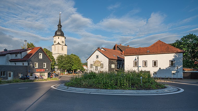
Bad Tabarz
Village
 Bad Tabarz is a municipality in the district of Gotha, in Thuringia, Germany. It is a winter sports resort and the terminus of the Thüringerwaldbahn rural tramway.
Friedrichroda
Town
 Friedrichroda is a town in the district of Gotha, Thuringia, Germany. It is situated at the north foot of the Thuringian Forest, 21 km by rail southwest of the town of Gotha.
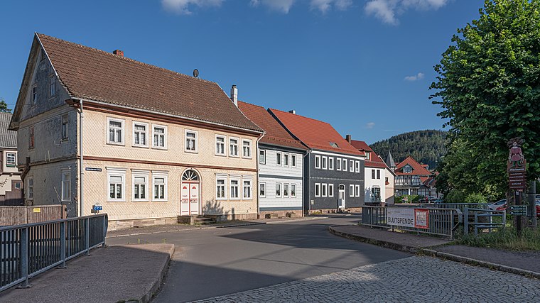
Brotterode
Village

Photo: Rainer Lippert, Public domain.
Brotterode is a town and a former municipality next to the Rennsteig in the Thuringian Forest, in the Schmalkalden-Meiningen district, in Thuringia, central Germany.
Aschenbergstein
- Type: Peak with an elevation of 565 metres
- Categories: climbing site, sports location, and landform
- Location: Thuringia, Germany, Central Europe, Europe
- View on OpenStreetMap
Latitude
50.8556° or 50° 51′ 20″ northLongitude
10.5029° or 10° 30′ 11″ eastElevation
565 metres (1,854 feet)Open location code
9F2GVG43+65OpenStreetMap ID
node 510834632OpenStreetMap feature
natural=peakOpenStreetMap feature
sport=climbing
This page is based on OpenStreetMap, Wikidata, and Wikimedia Commons.
We’d love your help improving our open data sources. Thank you for contributing.
Satellite Map
Discover Aschenbergstein from above in high-definition satellite imagery.
Localities in the Area
Explore places such as Grenzwiese and Tanzbuche.
Notable Places Nearby
Highlights include Aschenbergstein and Aschenberghöhle.
Curious Peaks to Discover
Uncover intriguing peaks from every corner of the globe.
About Mapcarta. Data © OpenStreetMap contributors and available under the Open Database License". Text is available under the CC BY-SA 4.0 license, except for photos, directions, and the map. Photo: Taxiarchos228, FAL.