Náplatka
Náplatka is a peak in Bílovec, Nový Jičín District, Moravian-Silesian Region and has an elevation of 432 metres. Náplatka is situated nearby to the hamlet Dolní Nový Dvůr, as well as near Horní Nový Dvůr.| Tap on a place to explore it |
Places of Interest
Highlights include Hubleska.

Places in the Area
Nearby places include Bílovec and Slatina.
Bílovec
Town

Photo: Packa, CC BY-SA 3.0.
Bílovec is a town in Nový Jičín District in the Moravian-Silesian Region of the Czech Republic. It has about 7,400 inhabitants. The historic town centre is well preserved and is protected as an urban monument zone.
Slatina
Village
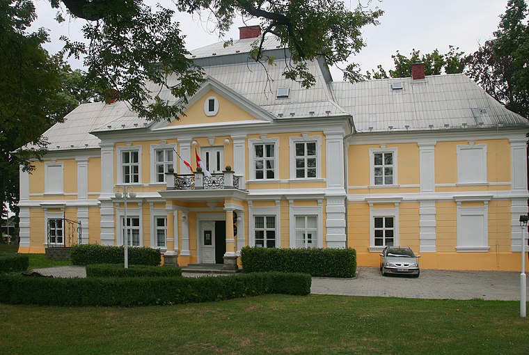
Photo: Kankovaa, CC BY-SA 3.0.
Slatina is a municipality and village in Nový Jičín District in the Moravian-Silesian Region of the Czech Republic. It has about 800 inhabitants.
Fulnek
Town

Photo: Packa, CC BY-SA 3.0.
Fulnek is a town in Nový Jičín District in the Moravian-Silesian Region of the Czech Republic. It has about 5,500 inhabitants. The historic town centre is well preserved and is protected as an urban monument zone.
Náplatka
- Type: Peak with an elevation of 432 metres
- Category: landform
- Location: Bílovec, Nový Jičín District, Moravian-Silesian Region, Czech Republic, Central Europe, Europe
- View on OpenStreetMap
Latitude
49.758° or 49° 45′ 29″ northLongitude
17.9441° or 17° 56′ 39″ eastElevation
432 metres (1,417 feet)Open location code
8FXVQW5V+6MOpenStreetMap ID
node 5109792363OpenStreetMap feature
natural=peak
This page is based on OpenStreetMap, Wikidata, and Wikimedia Commons.
We’d love your help improving our open data sources. Thank you for contributing.
Satellite Map
Discover Náplatka from above in high-definition satellite imagery.
Localities in the Area
Explore places such as Dolní Nový Dvůr and Horní Nový Dvůr.
Notable Places Nearby
Highlights include Kaplička and Větrný mlýn.
Czech Republic: Must-Visit Destinations
Delve into Prague, Brno, Pilsen, and Ostrava.
Curious Peaks to Discover
Uncover intriguing peaks from every corner of the globe.
About Mapcarta. Data © OpenStreetMap contributors and available under the Open Database License". Text is available under the CC BY-SA 4.0 license, except for photos, directions, and the map. Photo: john mcsporran, CC BY 2.0.