Waldspielplatz Medinghoven
Waldspielplatz Medinghoven is a playground in Bonn, Cologne District, North Rhine-Westphalia. Waldspielplatz Medinghoven is situated nearby to the sports venue Sportplatz Duisdorf, as well as near Turnhalle.| Tap on a place to explore it |
Places of Interest Nearby
Highlights include Federal Ministry of Defence and Kurfürstliche Brunnenanlage.
Federal Ministry of Defence
Government office

Photo: Jcornelius, CC BY-SA 3.0.
The Federal Ministry of Defence is a top-level federal agency, headed by the Federal Minister of Defence as a member of the Cabinet of Germany. The ministry is headquartered at the Hardthöhe barracks itself located at the Hardthöhe district in Bonn and has a second office in the Bendlerblock building in Berlin, which is occasionally used as a metonym to denote the entire Ministry. Federal Ministry of Defence is situated 1¼ km south of Waldspielplatz Medinghoven.
Kurfürstliche Brunnenanlage
Spring
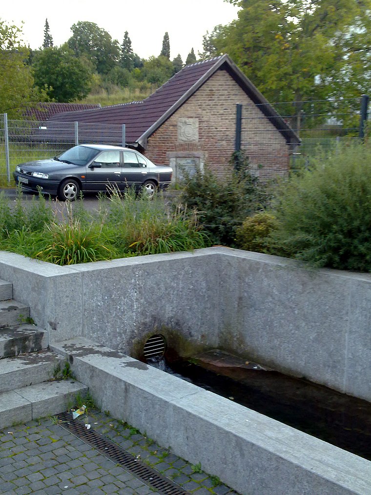
Photo: Ulli Purwin, CC BY-SA 3.0.
Kurfürstliche Brunnenanlage is a spring, which is situated 730 metres east of Waldspielplatz Medinghoven.
Rathaus Hardtberg
Town hall

Photo: Sir James, CC BY-SA 3.0.
Rathaus Hardtberg is a town hall, which is situated 1¼ km northeast of Waldspielplatz Medinghoven.
Places in the Area
Nearby places include Duisdorf and Hardtberg.

Hardtberg
Suburb
Photo: Sir James, CC BY-SA 3.0.
Hardtberg is a borough of Bonn, Germany. It has a population of 34,576.

Waldspielplatz Medinghoven
- Type: Playground
- Category: recreation area
- Location: Bonn, Cologne District, Cologne Lowland, North Rhine-Westphalia, Germany, Central Europe, Europe
- View on OpenStreetMap
Latitude
50.70897° or 50° 42′ 32″ northLongitude
7.03606° or 7° 2′ 10″ eastOperator
Stadt BonnOpen location code
9F29P25P+HCOpenStreetMap ID
node 5119422348OpenStreetMap feature
leisure=playground
This page is based on OpenStreetMap, Wikidata, and Wikimedia Commons.
We’d love your help improving our open data sources. Thank you for contributing.
Satellite Map
Discover Waldspielplatz Medinghoven from above in high-definition satellite imagery.
Notable Places Nearby
Highlights include Sportplatz Duisdorf and Turnhalle.
Nearby Places
Explore places such as El Dorado and Medinghoven Mitte.
Cologne Lowland: Must-Visit Destinations
Delve into Cologne, Leverkusen, Siegburg, and Bad Honnef.
Curious Playgrounds to Discover
Uncover intriguing playgrounds from every corner of the globe.
About Mapcarta. Data © OpenStreetMap contributors and available under the Open Database License". Text is available under the CC BY-SA 4.0 license, except for photos, directions, and the map. Photo: Danapit, CC BY-SA 3.0.