Vermessung Forian Grüner
Vermessung Forian Grüner is an office in Imst, Tyrol. Vermessung Forian Grüner is situated nearby to the park Stadtplatz, as well as near the fountain Antoniusbrunnen.| Tap on a place to explore it |
Places of Interest Nearby
Highlights include Museum im Ballhaus and Franziskusbrunnen.
Museum im Ballhaus
Museum
 Museum im Ballhaus is situated 100 metres west of Vermessung Forian Grüner.
Franziskusbrunnen
Fountain

Photo: Haeferl, CC BY-SA 3.0 at.
Franziskusbrunnen is a fountain, which is situated 170 metres west of Vermessung Forian Grüner.
Kapuzinerkirche und -kloster
Church
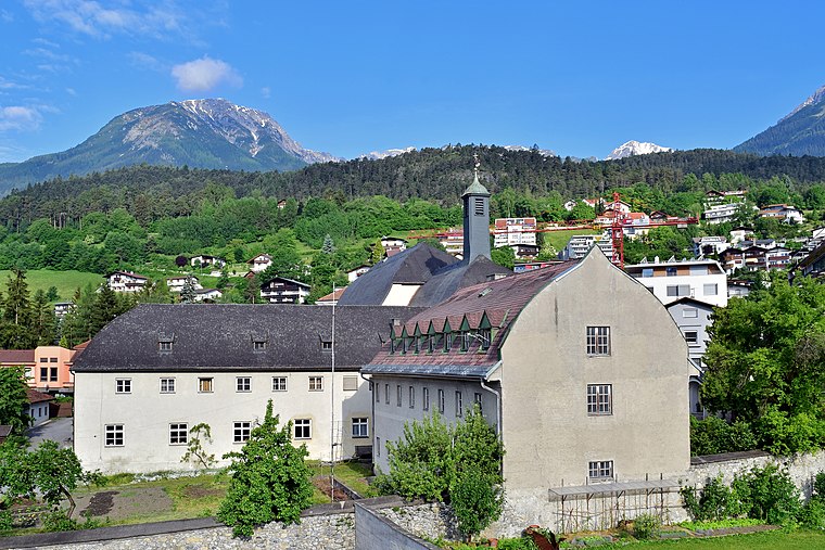
Photo: Haeferl, CC BY-SA 3.0 at.
Kapuzinerkirche und -kloster is a church, which is situated 300 metres west of Vermessung Forian Grüner.
Places in the Area
Nearby places include Ötztal-Bahnhof.
Ötztal-Bahnhof
Village

Photo: Simon04, CC BY-SA 4.0.
Ötztal-Bahnhof is a village, which is situated 9 km east of Vermessung Forian Grüner.
Vermessung Forian Grüner
- Type: Office
- Location: Imst, Imst District, Tyrol, Austria, Central Europe, Europe
- View on OpenStreetMap
Latitude
47.23833° or 47° 14′ 18″ northLongitude
10.74312° or 10° 44′ 35″ eastOpen location code
8FVG6PQV+86OpenStreetMap ID
node 5126938917OpenStreetMap feature
office=geodesist
This page is based on OpenStreetMap, Wikidata, and Wikimedia Commons.
We’d love your help improving our open data sources. Thank you for contributing.
Satellite Map
Discover Vermessung Forian Grüner from above in high-definition satellite imagery.
Notable Places Nearby
Highlights include Stadtplatz and Antoniusbrunnen.
Nearby Places
Explore places such as Bauernhof Jäger (Baldau) and Imst Stadtplatz (Postgasse).
Tyrol: Must-Visit Destinations
Delve into Innsbruck, Kufstein, Lienz, and Kitzbühel.
Curious Offices to Discover
Uncover intriguing offices from every corner of the globe.
About Mapcarta. Data © OpenStreetMap contributors and available under the Open Database License". Text is available under the CC BY-SA 4.0 license, except for photos, directions, and the map. Photo: Traveler100, CC BY-SA 3.0.