Meinsberg
Meinsberg is a peak in Springe, Hanover Region, Lower Saxony. Meinsberg is situated nearby to the locality Ebene, as well as near the hamlet Köllnischfeld.| Tap on a place to explore it |
Places of Interest
Highlights include Anna-Tower and Bröhn.
Bröhn
Peak

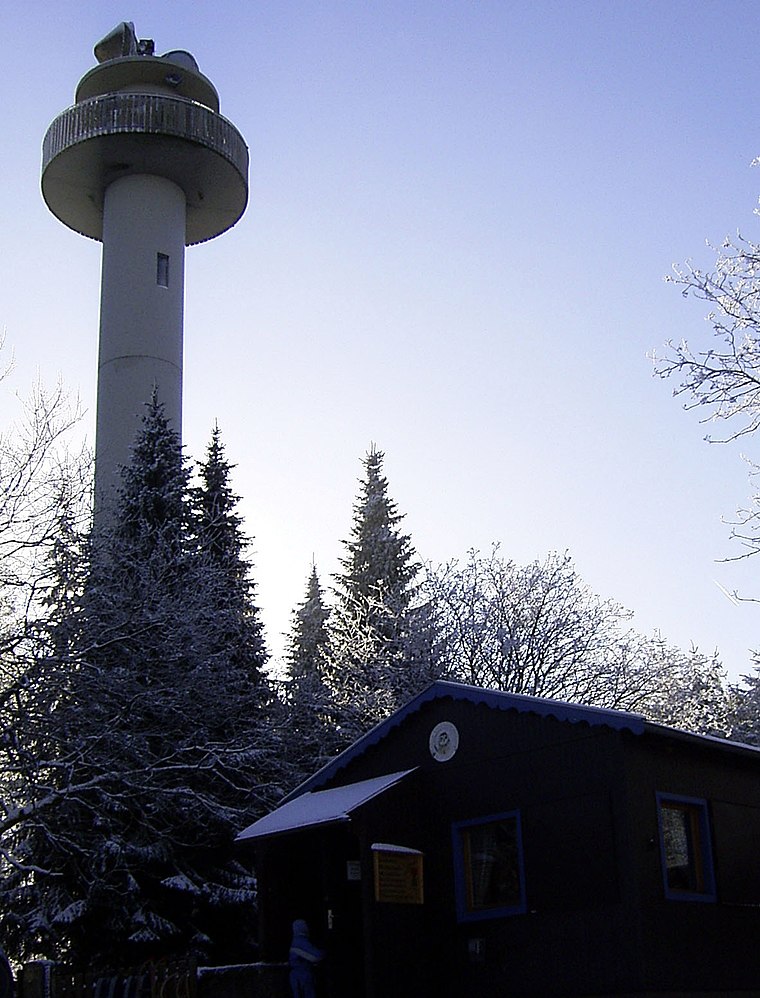
Photo: Den man tau, CC BY-SA 3.0.
The Bröhn is the highest hill in the Deister range in the German state of Lower Saxony, reaching 405 metres. It owes its name to the broom growing here.
Ebersberg
Peak

Photo: Gerhard kemme, CC0.
The Ebersberg lies on the southern slopes of the Deister ridge in Lower Saxony, Germany. It is located southwest of the city of Hanover. On its slopes is the town of Springe.
Places in the Area
Nearby places include Bad Münder and Luttringhausen.
Bad Münder
Town

Photo: Maren Kaltenbach, CC BY-SA 3.0.
Bad Münder am Deister, commonly known as Bad Münder, is a town in the Hamelin-Pyrmont district, Lower Saxony, Germany. It is on the south side of the Deister hills in the Deister-Süntel valley, about 15 kilometres northeast of Hamelin.


Meinsberg
- Type: Peak
- Category: landform
- Location: Springe, Hanover Region, Lower Saxony, Germany, Central Europe, Europe
- View on OpenStreetMap
Latitude
52.2264° or 52° 13′ 35″ northLongitude
9.5118° or 9° 30′ 43″ eastOpen location code
9F4F6GG6+HPOpenStreetMap ID
node 5128558662OpenStreetMap feature
natural=peak
This page is based on OpenStreetMap, Wikidata, and Wikimedia Commons.
We’d love your help improving our open data sources. Thank you for contributing.
Satellite Map
Discover Meinsberg from above in high-definition satellite imagery.
Places with the Same Name
Discover other places named “Meinsberg”.
Localities in the Area
Explore places such as Ebene and Köllnischfeld.
Notable Places Nearby
Highlights include Meinsberg and Schierkopf.
Hanover Region: Must-Visit Destinations
Delve into Hanover, Hildesheim, Nienburg, and Verden an der Aller.
Curious Peaks to Discover
Uncover intriguing peaks from every corner of the globe.
About Mapcarta. Data © OpenStreetMap contributors and available under the Open Database License". Text is available under the CC BY-SA 4.0 license, except for photos, directions, and the map. Photo: Ukko.de, CC BY-SA 3.0.