Kanu-Slalom
Kanu-Slalom is a sports venue in Gera, Thuringia. Kanu-Slalom is situated nearby to the power station Heizkraftwerk Gera Süd, as well as near the arts center Volkshaus Gera-Zwötzen.| Tap on a place to explore it |
Places of Interest Nearby
Highlights include St. Martini (Zwötzen) and Gera-Zwötzen railway station.
St. Martini (Zwötzen)
Church
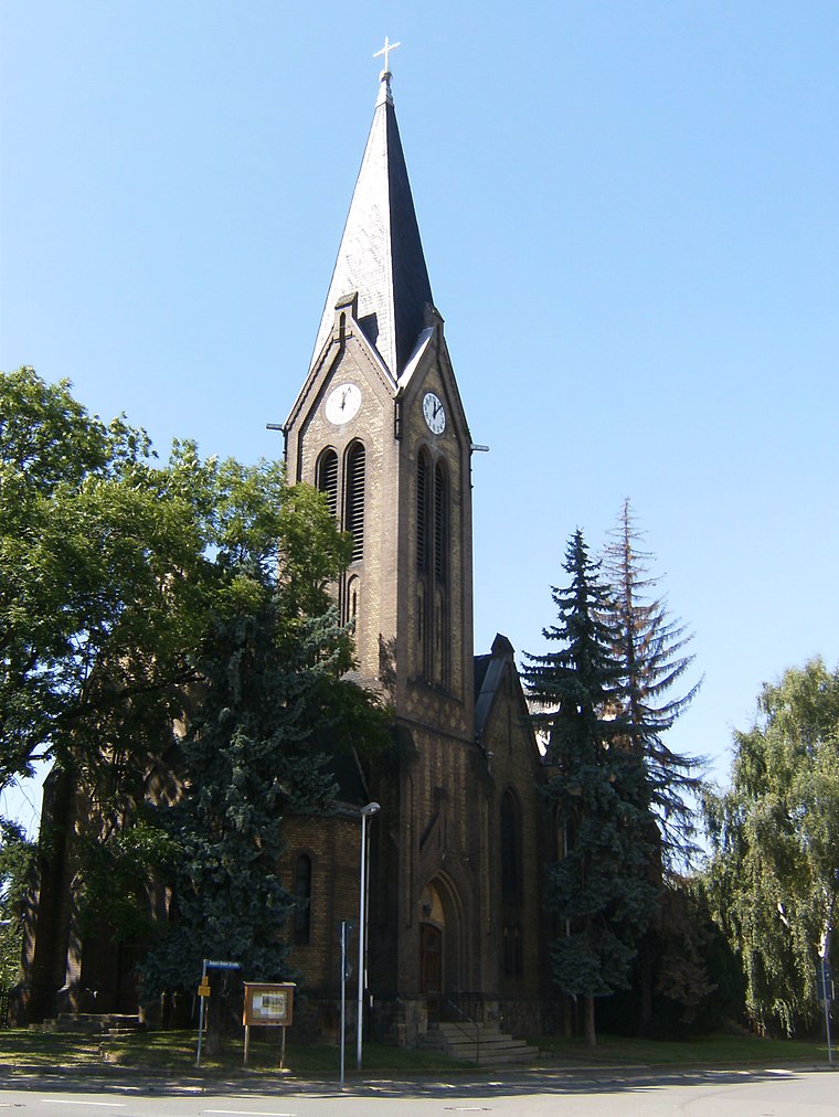
Photo: Christine Türpitz, CC BY 3.0.
St. Martini (Zwötzen) is a church, which is situated 550 metres northeast of Kanu-Slalom.
Gera-Zwötzen railway station
Railway station

Photo: Xerini, CC BY-SA 3.0.
Gera-Zwötzen railway station is situated 680 metres north of Kanu-Slalom.
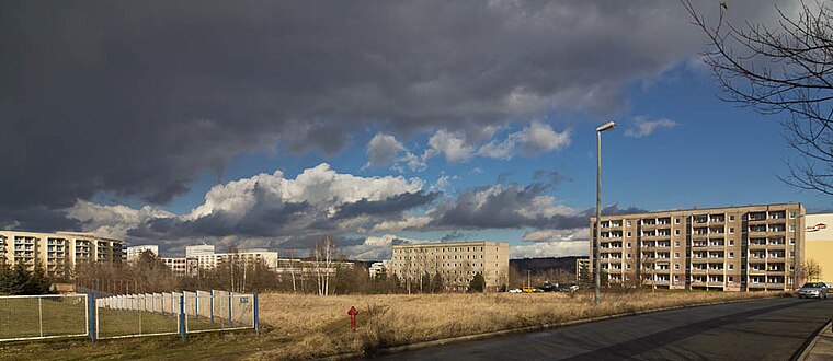
St. Ursula (Lusan)
Church

Photo: Steffen Löwe Gera, CC BY-SA 3.0.
St. Ursula (Lusan) is a church, which is situated 1 km northwest of Kanu-Slalom.
Places in the Area
Nearby places include Zwötzen and Lusan.

Kanu-Slalom
- Type: Sports venue
- Categories: recreation area and sports location
- Location: Gera, Thuringia, Germany, Central Europe, Europe
- View on OpenStreetMap
Latitude
50.8445° or 50° 50′ 40″ northLongitude
12.08047° or 12° 4′ 50″ eastOpen location code
9F2JR3VJ+Q5OpenStreetMap ID
node 5137279013OpenStreetMap feature
leisure=sports_centreOpenStreetMap feature
sport=canoeing
This page is based on OpenStreetMap, Wikidata, and Wikimedia Commons.
We’d love your help improving our open data sources. Thank you for contributing.
Satellite Map
Discover Kanu-Slalom from above in high-definition satellite imagery.
Notable Places Nearby
Highlights include Heizkraftwerk Gera Süd and Volkshaus Gera-Zwötzen.
Nearby Places
Explore places such as Siedlung Elstertal and ARAL.
Thuringia: Must-Visit Destinations
Delve into Erfurt, Weimar, Jena, and Eisenach.
Curious Sports Venues to Discover
Uncover intriguing sports venues from every corner of the globe.
About Mapcarta. Data © OpenStreetMap contributors and available under the Open Database License". Text is available under the CC BY-SA 4.0 license, except for photos, directions, and the map. Photo: Taxiarchos228, FAL.