Site archéologique des Tours de Chignin
Site archéologique des Tours de Chignin is an archaeological site in Chignin, Arrondissement of Chambéry, Auvergne-Rhône-Alpes. Site archéologique des Tours de Chignin is situated nearby to the castle Clos Saint-Anthelme, as well as near the winery Pascal Quenard.| Tap on a place to explore it |
Places of Interest Nearby
Highlights include Église Saint-Georges du Prieuré and Sanctuaire Notre-Dame de Myans.
Église Saint-Georges du Prieuré
Church

Photo: Wikimedia, CC BY-SA 4.0.
Église Saint-Georges du Prieuré is a church, which is situated 1 km northwest of Site archéologique des Tours de Chignin.
Sanctuaire Notre-Dame de Myans
Church
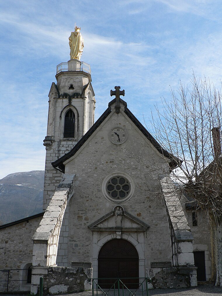
Photo: Badhy, CC BY-SA 4.0.
Sanctuaire Notre-Dame de Myans is a church, which is situated 1½ km southwest of Site archéologique des Tours de Chignin.
Château de Triviers
Castle

Photo: Lev. Anthony, CC BY-SA 4.0.
Château de Triviers is a castle, which is situated 2 km north of Site archéologique des Tours de Chignin.
Places in the Area
Nearby places include La Thuile and Curienne.
La Thuile
Village

Photo: Wikimedia, CC BY-SA 3.0.
La Thuile is a commune in the Savoie department in the Auvergne-Rhône-Alpes region in south-eastern France. La Thuile is situated 4½ km east of Site archéologique des Tours de Chignin.
Curienne
Village

Photo: Wikimedia, CC BY-SA 3.0.
Curienne is a commune in the Savoie department in the Auvergne-Rhône-Alpes region in Southeastern France. In 2019, it had a population of 678. Curienne is situated 4½ km north of Site archéologique des Tours de Chignin.
Montmélian
Village

Photo: Wikimedia, CC BY-SA 3.0.
Montmélian is a commune in the Savoie department in the Auvergne-Rhône-Alpes region in south-eastern France. Montmélian station has rail connections to Grenoble, Modane, Bourg-Saint-Maurice and Chambéry. Montmélian is situated 5 km southeast of Site archéologique des Tours de Chignin.
Site archéologique des Tours de Chignin
- Type: Archaeological site
- Categories: historic site, tourist attraction, and tourism
- Location: Chignin, Arrondissement of Chambéry, Savoie, Auvergne-Rhône-Alpes, France, Europe
- View on OpenStreetMap
Latitude
45.52646° or 45° 31′ 35″ northLongitude
6.00057° or 6° 0′ 2″ eastOpen location code
8FQ8G2G2+H6OpenStreetMap ID
node 5163492018OpenStreetMap feature
historic=archaeological_site
This page is based on OpenStreetMap, Wikidata, and Wikimedia Commons.
We’d love your help improving our open data sources. Thank you for contributing.
Satellite Map
Discover Site archéologique des Tours de Chignin from above in high-definition satellite imagery.
Notable Places Nearby
Highlights include Clos Saint-Anthelme and Pascal Quenard.
Nearby Places
Explore places such as La Poype and Tour de Montagny.
Savoie: Must-Visit Destinations
Delve into Chambéry, Aix-les-Bains, Val-d’Isère, and Bourg-Saint-Maurice.
Curious Archaeological Sites to Discover
Uncover intriguing archaeological sites from every corner of the globe.
About Mapcarta. Data © OpenStreetMap contributors and available under the Open Database License". Text is available under the CC BY-SA 4.0 license, except for photos, directions, and the map. Photo: Mrhugues, CC BY-SA 3.0.