Chopec
Chopec is a peak in Nižná Boca, Liptovský Mikuláš, Žilina Region and has an elevation of 1,548 metres. Chopec is situated nearby to the locality Polianka, as well as near Svidovo.| Tap on a place to explore it |
Photo: Selso, CC BY-SA 4.0.
Places of Interest
Highlights include Čertovica and Kumštové sedlo.
Čertovica
Mountain saddle
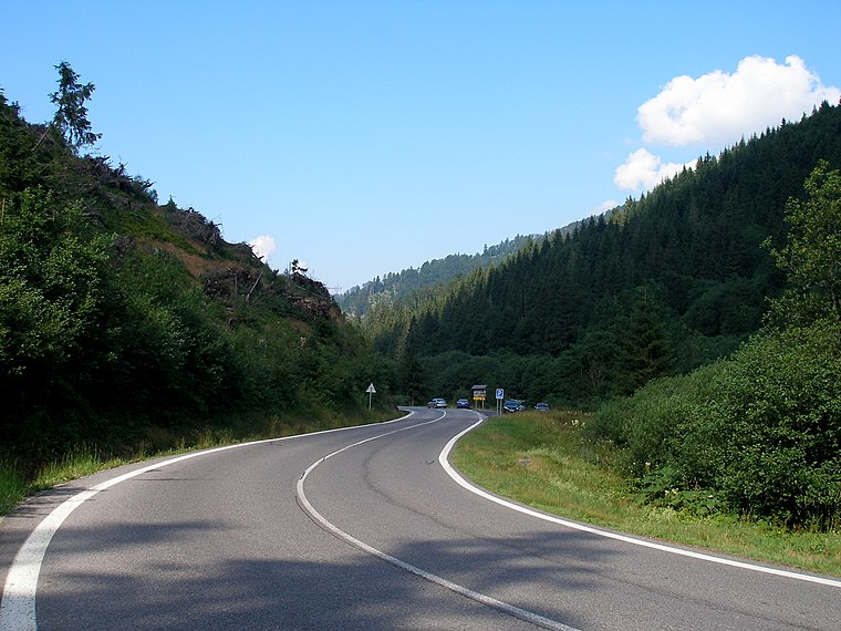
Photo: Doko, CC BY-SA 3.0.
Čertovica is a mountain pass in the Low Tatras mountain range in Slovakia. It connects regions of Liptov and Horehronie. With 1,232 metres AMSL, it is the highest paved mountain pass in Slovakia.


Places in the Area
Nearby places include Nižná Boca and Vyšná Boca.
Nižná Boca
Village

Photo: Luky001, CC BY-SA 4.0.
Nižná Boca is a village and municipality in Liptovský Mikuláš District in the Žilina Region of northern Slovakia.
Vyšná Boca
Village
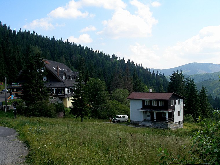
Photo: Doko, CC BY-SA 3.0.
Vyšná Boca is a village and municipality in Liptovský Mikuláš District in the Žilina Region of northern Slovakia.
Malužiná
Village

Photo: Doko, CC BY-SA 3.0.
Malužiná is a village and municipality in Liptovský Mikuláš District in the Žilina Region of northern Slovakia.
Chopec
- Type: Peak with an elevation of 1,548 metres
- Categories: mountain and landform
- Location: Nižná Boca, Liptovský Mikuláš, Žilina Region, Slovakia, Central Europe, Europe
- View on OpenStreetMap
Latitude
48.937° or 48° 56′ 13″ northLongitude
19.7323° or 19° 43′ 56″ eastElevation
1,548 metres (5,079 feet)Open location code
8FWXWPPJ+QWOpenStreetMap ID
node 5174992446OpenStreetMap feature
natural=peakWikidata ID
Q86674623
This page is based on OpenStreetMap, Wikidata, and Wikimedia Commons.
We’d love your help improving our open data sources. Thank you for contributing.
Satellite Map
Discover Chopec from above in high-definition satellite imagery.
In Other Languages
From Polish to Slovak—“Chopec” goes by many names.
- Polish: “Chopec”
- Slovak: “Chopec”
Localities in the Area
Explore places such as Polianka and Svidovo.
Notable Places Nearby
Highlights include Kompík and Rovná Hol’a.
Slovakia: Must-Visit Destinations
Delve into Bratislava, Košice, Banská Bystrica, and Prešov.
Curious Peaks to Discover
Uncover intriguing peaks from every corner of the globe.
About Mapcarta. Data © OpenStreetMap contributors and available under the Open Database License". Text is available under the CC BY-SA 4.0 license, except for photos, directions, and the map. Photo: Selso, CC BY-SA 4.0.