Kiviristi Tien Pää
Kiviristi Tien Pää is a memorial in Finland Proper, West Coast. Kiviristi Tien Pää is situated nearby to the cemetery Tammikumpu, as well as near the park Ystävyydenpuisto.| Tap on a place to explore it |
Places of Interest Nearby
Highlights include Raisio Church and Church builders Killi and Nalli.
Raisio Church
Church

Photo: AB, CC BY-SA 3.0.
Raisio Church is situated 200 metres south of Kiviristi Tien Pää.
Church builders Killi and Nalli
Work of art
Church Builders Killi and Nalli is a public sculpture in Raisio, Finland. Created by the sculptor Harry Kivijärvi in red granite, it stands in the park area between Raisio City Hall and the Church of St. Church builders Killi and Nalli is situated 190 metres southwest of Kiviristi Tien Pää.
Kirkkauden kappeli
Church
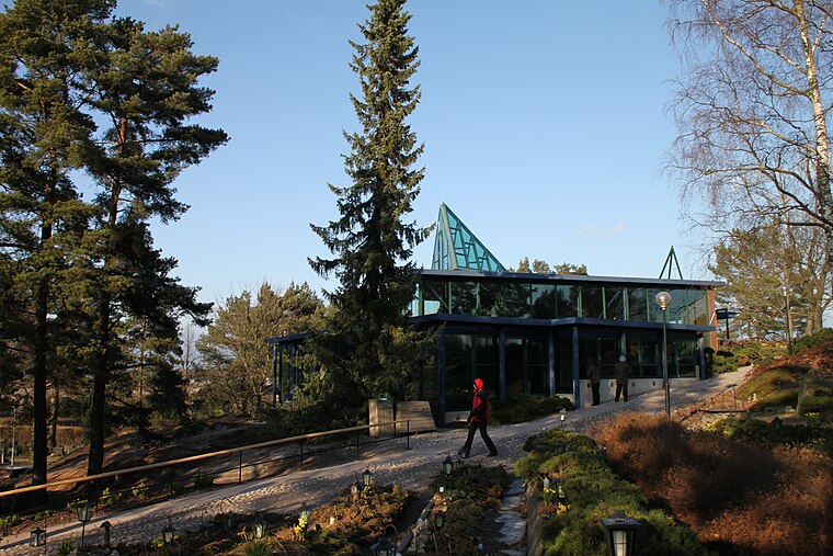
Photo: Mikko Laihonen, CC BY-SA 3.0.
Kirkkauden kappeli is a church, which is situated 330 metres southeast of Kiviristi Tien Pää.
Places in the Area
Nearby places include Raisio and Mälikkälä.
Raisio
Town

Photo: Mauri Suhonen, CC BY-SA 4.0.
Raisio is a town in Finland, located in the Southwest Finland region. It lies north of the regional capital, Turku. The population of Raisio is approximately 26,000, while the sub-region has a population of approximately 353,000.
Mälikkälä
Suburb
Mälikkälä is a district in the Kuninkoja ward of the city of Turku, in Finland. It is located to the west of the city, and is mainly a low-density residential suburb. Mälikkälä is situated 2½ km southeast of Kiviristi Tien Pää.
Härkämäki
Suburb

Photo: Kotivalo, CC BY-SA 3.0.
Härkämäki is a suburb, which is situated 2½ km southeast of Kiviristi Tien Pää.
Kiviristi Tien Pää
- Type: Memorial
- Category: historic site
- Location: Finland Proper, West Coast, Finland, Nordic countries, Europe
- View on OpenStreetMap
Latitude
60.48621° or 60° 29′ 10″ northLongitude
22.17645° or 22° 10′ 35″ eastOpen location code
9GG4F5PG+FHOpenStreetMap ID
node 5195462680OpenStreetMap feature
historic=memorial
This page is based on OpenStreetMap, Wikidata, and Wikimedia Commons.
We’d love your help improving our open data sources. Thank you for contributing.
Satellite Map
Discover Kiviristi Tien Pää from above in high-definition satellite imagery.
Notable Places Nearby
Highlights include Tammikumpu and Ystävyydenpuisto.
Nearby Places
Explore places such as Hautakammiot and Sankarihaudat.
Finland Proper: Must-Visit Destinations
Delve into Turku, Salo, Uusikaupunki, and Kaarina.
Curious Memorials to Discover
Uncover intriguing memorials from every corner of the globe.
About Mapcarta. Data © OpenStreetMap contributors and available under the Open Database License". Text is available under the CC BY-SA 4.0 license, except for photos, directions, and the map. Photo: Wikimedia, CC0.