Reinickendorfer Straße
Reinickendorfer Straße is a Berlin U-Bahn station located on the U6.| Tap on a place to explore it |
Photo: A.Savin, CC BY-SA 3.0.
- Type: Metro station
- Description: Berlin U-Bahn station
- Wheelchair access: yes
Places of Interest Nearby
Highlights include Berlin-Wedding station and Dankes-Kirche.
Berlin-Wedding station
Railway station

Photo: IngolfBLN, CC BY-SA 2.0.
Berlin-Wedding is a station in the Wedding locality of Berlin and serves the S-Bahn lines S41 and S42 and the U-Bahn line U6. Berlin-Wedding station is situated 380 metres northwest of Reinickendorfer Straße.
Dankes-Kirche
Church
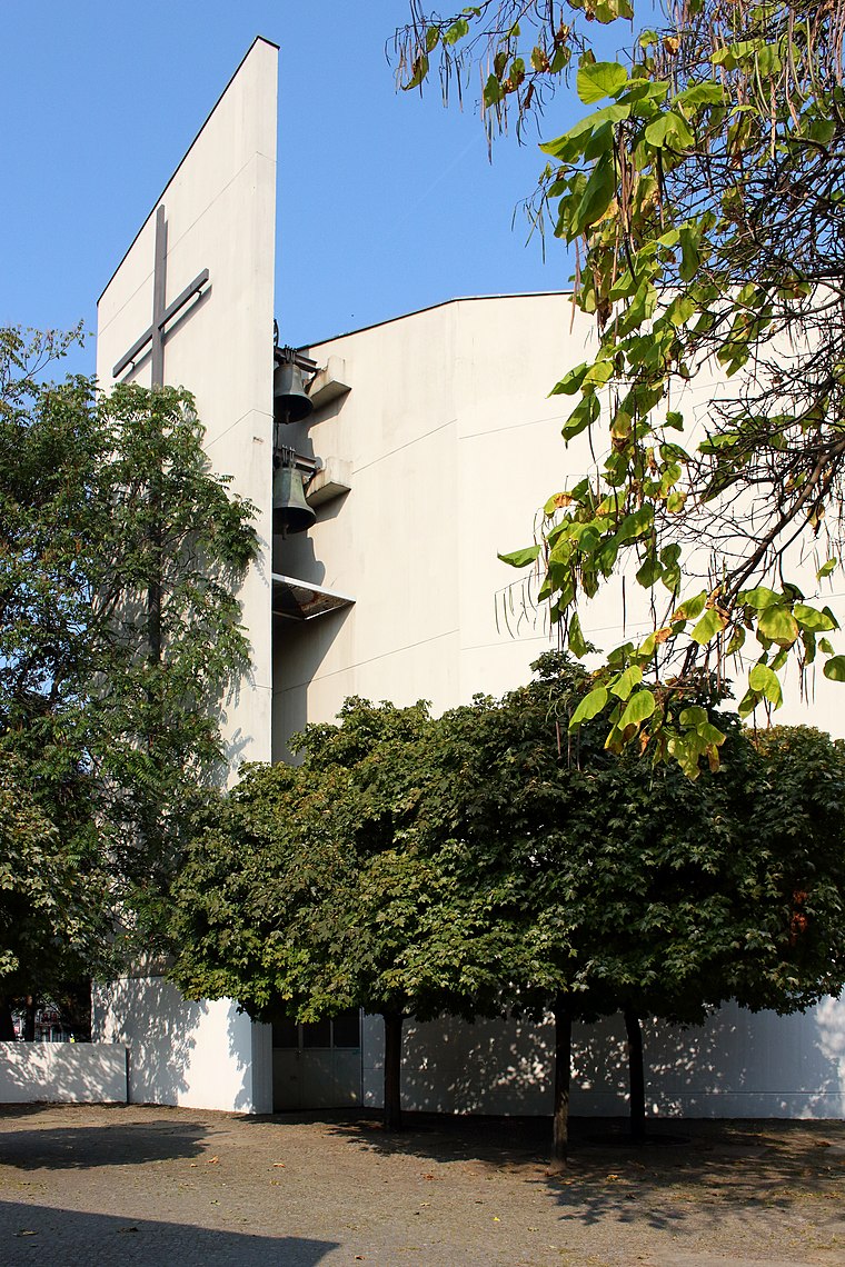
Photo: Queryzo, CC BY-SA 4.0.
Dankes-Kirche is a church, which is situated 130 metres north of Reinickendorfer Straße.
Erika-Heß-Eisstadion
Stadium

Photo: Wikimedia, CC BY-SA 2.0 de.
Erika-Heß-Eisstadion is a stadium, which is situated 290 metres south of Reinickendorfer Straße.
Places in the Area
Nearby places include Europacity and Heinrich-Zille-Siedlung.

Heinrich-Zille-Siedlung
Neighborhood

Photo: Gunnar Klack, CC BY-SA 4.0.
Heinrich-Zille-Siedlung is a neighborhood.
Wedding
Suburb

Photo: A.Savin, CC BY-SA 3.0.
Wedding is a locality in the borough of Mitte, Berlin, Germany. It was a separate borough in the north-western inner city until it was fused with Tiergarten and Mitte in Berlin's 2001 administrative reform.
Reinickendorfer Straße
- Categories: Berlin U-Bahn station, underground station, railway station, station, and transportation
- Location: Berlin, Berlin, Stadt, Berlin, Germany, Central Europe, Europe
- View on OpenStreetMap
Latitude
52.54004° or 52° 32′ 24″ northLongitude
13.37029° or 13° 22′ 13″ eastOpen location code
9F4MG9RC+24OpenStreetMap ID
node 5198810677OpenStreetMap feature
public_transport=stationOpenStreetMap feature
railway=stationOpenStreetMap attribute
wheelchair=yesWikidata ID
Q559249
This page is based on OpenStreetMap, Wikidata, Wikimedia Commons, and Wikipedia.
We’d love your help improving our open data sources. Thank you for contributing.
Satellite Map
Discover Reinickendorfer Straße from above in high-definition satellite imagery.
In Other Languages
From Chinese to Ukrainian—“Reinickendorfer Straße” goes by many names.
- Chinese: “赖尼肯多夫街站”
- Dutch: “Reinickendorfer Strasse”
- Dutch: “Reinickendorfer Straße”
- French: “Reinickendorfer Straße”
- German: “U-Bahnhof Reinickendorfer Strasse”
- German: “U-Bahnhof Reinickendorfer Straße”
- Italian: “Reinickendorfer Straße”
- Japanese: “ライニッケンドルファー・シュトラーセ駅”
- Korean: “라이니켄도르퍼 슈트라세역”
- Lombard: “Reinickendorfer Straße (metropolitana de Berlin)”
- Lombard: “Reinickendorfer Straße”
- Norwegian Bokmål: “Reinickendorfer Straße undergrunnsstasjon”
- Norwegian: “Reinickendorfer Straße undergrunnsstasjon”
- Polish: “Reinickendorfer Straße”
- Spanish: “Reinickendorfer Straße”
- Ukrainian: “Райнікендорфер-Штрасе”
Notable Places Nearby
Highlights include Weddingplatz and Syrisch-Orthodoxe Kirche von Antiochien St. Izozoel.
Nearby Places
Explore places such as Reinickendorfer Straße and Zanabeel Back.
Berlin: Must-Visit Destinations
Delve into Mitte, East Central, City West, and East Berlin.
Curious Metro Stations to Discover
Uncover intriguing metro stations from every corner of the globe.
About Mapcarta. Data © OpenStreetMap contributors and available under the Open Database License". Text is available under the CC BY-SA 4.0 license, except for photos, directions, and the map. Description text is based on the Wikipedia page “Reinickendorfer Straße”. Photo: A.Savin, CC BY-SA 3.0.