Hermann´s Wiesn
Hermann´s Wiesn is a recreation area in Pilgersdorf, Oberpullendorf District, Burgenland. Hermann´s Wiesn is situated nearby to the memorial Sebastianssäule Lebenbrunn, as well as near the church St. Ulrich.| Tap on a place to explore it |
Places of Interest Nearby
Highlights include Sebastianssäule Lebenbrunn and Saint Oswald of Northumbria Church.
Sebastianssäule Lebenbrunn
Memorial

Photo: Robert Heilinger, CC BY-SA 3.0.
Sebastianssäule Lebenbrunn is a memorial, which is situated 360 metres north of Hermann´s Wiesn.
Saint Oswald of Northumbria Church
Church

Photo: Ufoao, CC BY-SA 3.0 at.
Saint Oswald of Northumbria Church is situated 1½ km south of Hermann´s Wiesn.
Filialkirche hl. Antonius
Church

Photo: Robert Heilinger, CC BY-SA 3.0.
Filialkirche hl. Antonius is a church, which is situated 2 km northeast of Hermann´s Wiesn.
Places in the Area
Nearby places include Kogl im Burgenland and Redlschlag.


Stuben
Village
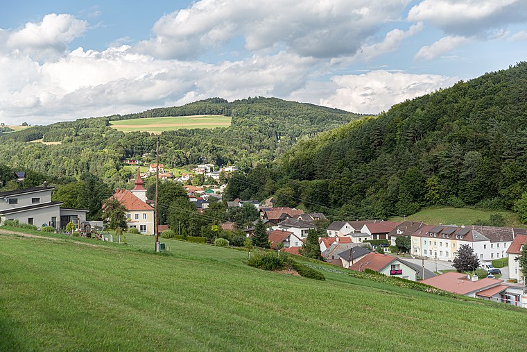
Photo: Tsui, CC BY-SA 4.0.
Stuben is a village, which is situated 5 km southwest of Hermann´s Wiesn.
Hermann´s Wiesn
- Type: Recreation area
- Categories: tourist attraction and tourism
- Location: Pilgersdorf, Oberpullendorf District, Burgenland, Austria, Central Europe, Europe
- View on OpenStreetMap
Latitude
47.45959° or 47° 27′ 35″ northLongitude
16.30322° or 16° 18′ 12″ eastOpen location code
8FVRF853+R7OpenStreetMap ID
node 5204715277OpenStreetMap feature
leisure=firepit
This page is based on OpenStreetMap, Wikidata, and Wikimedia Commons.
We’d love your help improving our open data sources. Thank you for contributing.
Satellite Map
Discover Hermann´s Wiesn from above in high-definition satellite imagery.
Notable Places Nearby
Highlights include St. Ulrich and FF Lebenbrunn.
Nearby Places
Explore places such as Lebenbrunn and alte Schmiede.
Burgenland: Must-Visit Destinations
Delve into Eisenstadt, Neusiedl am See, Rust, and Güssing.
Curious Recreation Areas to Discover
Uncover intriguing recreation areas from every corner of the globe.
About Mapcarta. Data © OpenStreetMap contributors and available under the Open Database License". Text is available under the CC BY-SA 4.0 license, except for photos, directions, and the map. Photo: Wikimedia, CC BY-SA 4.0.